
Heavy rain, mild weather causing trouble on Toronto roads, waterways
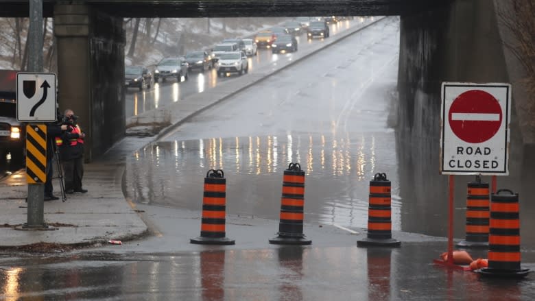

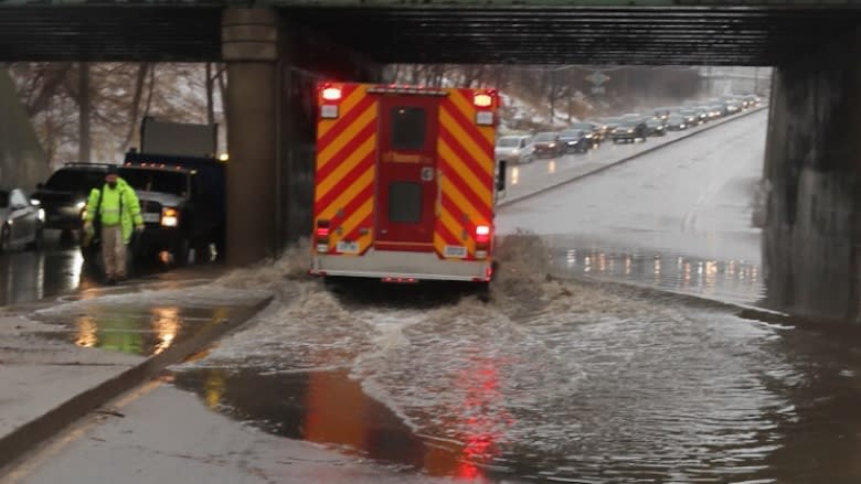

Heavy rain and mild weather are causing localized flooding and road closures around Toronto.
Environment Canada says the high temperatures could break records on Tuesday.
The federal weather agency issued a special weather statement early Tuesday in response to the wet and mild system moving across much of Southern Ontario.
The agency is forecasting between 20 and 30 millimetres of precipitation by Wednesday.
Tuesday's afternoon high is also expected to reach 15 C, which would easily clear the previous record of 12.4 C set back in 1994.
"In addition to the rain that's falling, with our warm temperatures, any snow on the ground will start to melt," Ria Alsen, a severe weather meteorologist for Environment Canada, said Tuesday.
"It's going to go somewhere, so lakes and rivers might get a little higher and low-lying areas might see some ponding."
On Tuesday morning, the city closed the northbound lanes of Bayview Avenue between Nesbitt Drive and Moore Avenue due to flooding.
Two lanes of traffic at Eglinton Avenue West and Rosemount Avenue have also been closed due to flooding of nearby Massey Creek.
TRCA watching for ice jams
The Toronto Region Conservation Authority (TRCA) will have staff monitoring the conditions around the clock until the system passes.
The TRCA says the Old Mill bridge crossing the Humber River and the lower portion of the Don River could be susceptible to ice jams caused by the rain and mild conditions, though other areas could see flooding as well.
"We do like to stress that people stay away from water courses because any low-lying area can have the potential for localized flooding," Rebecca Elliott, the TRCA's engineer of flood risk management, said.
Environment Canada is forecasting the return or drier, cooler conditions by Thursday.
