
How high is the Sacramento Valley’s wildfire risk? See your county on an interactive map
While California is no stranger to wildfires, areas around the Sacramento Valley region are more at risk than others.
By using data collected in March 2023 and risk assessments, the Federal Emergency Management Agency has created a map that shows counties across the United States currently considered most at risk for wildfires.
The agency looked at expected annual loss, which calculates the costs of natural disasters, as well as social vulnerability, which determines how humans will be affected by disasters. FEMA also explored community resilience — how well people prepare for natural disasters and how quickly communities bounce back following the event.
FEMA then rates counties from very low, relatively low, relatively moderate, relatively high to very high for fire risk.
The risk for most of the Sacramento Valley, comprised of 11 counties, including Sacramento, Yolo, Sutter, Yuba, Colusa, Glenn, Butte, Tehama, Shasta and parts of Solano and Placer counties, is “relatively moderate.”
However, a handful of counties are considered at “relatively high” risk.
Which Sacramento Valley counties are more at risk?
1. Shasta County
Risk index: Relatively high
Expected annual loss from wildfires: $17 million
Frequency: 0.7% chance per year
Historic loss ratio: Relatively low
2. Butte County
Risk index: Relatively high
Expected annual loss from wildfires: $14 million
Frequency: 0.6% chance per year
Historic loss ratio: Relatively low
3. Placer County
Risk index: Relatively high
Expected annual loss from wildfires: $13 million
Frequency: 0.4% chance per year
Historic loss ratio: Relatively low
4. Tehama County
Risk index: Relatively high
Expected annual loss from wildfires: $7.2 million
Frequency: 0.6% chance per year
Historic loss ratio: Relatively moderate
5. Yuba County
Risk index: Relatively moderate
Expected annual loss from wildfires: $3.2 million
Frequency: 0.5% chance per year
Historic loss ratio: Relatively low
6. Sacramento County
Risk index: Relatively moderate
Expected annual loss from wildfires: $2.9 million
Frequency: 0.3% chance per year
Historic loss ratio: Relatively low
7. Glenn County
Risk index: Relatively moderate
Expected annual loss from wildfires: $1.5 million
Frequency: 0.4% chance per year
Historic loss ratio: Very high
8. Solano County
Risk index: Relatively moderate
Expected annual loss from wildfires: $1.5 million
Frequency: 0.2% chance per year
Historic loss ratio: Relatively low
9. Colusa County
Risk index: Relatively low
Expected annual loss from wildfires: $390,000
Frequency: 0.4% chance per year
Historic loss ratio: Relatively high
10. Yolo County
Risk index: Relatively low
Expected annual loss from wildfires: $373,000
Frequency: 0.3% chance per year
Historic loss ratio: Relatively low
11. Sutter County
Risk index: Relatively low
Expected annual loss from wildfires: $1.5 million
Frequency: 0.2% chance per year
Historic loss ratio: Relatively low
Why are wildfires in California getting worse?
According to the California Air Resources Board, climate change — primarily caused by burning fossil fuels — is making wildfires worse in California.
“Since 1950, the area burned by California wildfires each year has been increasing, as spring and summer temperatures have warmed and spring snowmelt has occurred earlier,” the board’s website stated.
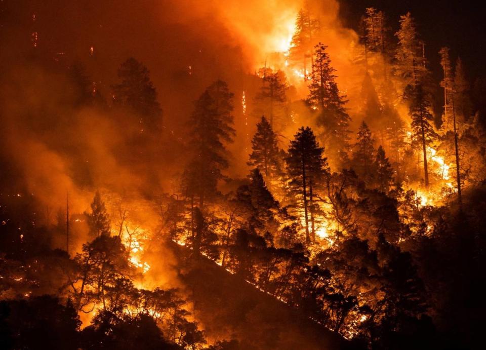
The recent “hotter” drought has led wildfires to intensify and rapidly spread across the state.
“Of the 20 largest fires in California’s history, eight have occurred (since 2017),” the website stated.
In 2023, a total of 7,127 wildfires burned across California, according to data from the California Department of Forestry and Fire Protection. As a result of those fires, 324, 917 acres burned, four people lost their lives and 71 structures were either destroyed or damaged.
As of Monday, California has seen 172 wildfires so far this year, according to the agency.
What do you want to know about life in Sacramento? Ask our service journalism team your top-of-mind questions in the module below or email servicejournalists@sacbee.com.

