
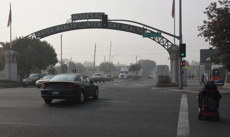
How high is the wildfire risk in Stanislaus County? See the danger on this interactive map
As wildfire season approaches in California, what’s the risk for Stanislaus County?
Using data collected in March 2023 and risk assessments, the Federal Emergency Management Agency has created a map that shows which counties across the United States are the most at risk for wildfires.
FEMA looked at expected annual loss, which calculates the costs of natural disasters, as well as social vulnerability, which determines how social groups will be affected by disasters. The agency also explored community resilience — how well people prepare for natural disasters and how quickly communities bounce back following the event.
FEMA used these factors to rate each county’s wildfire risk from very low, relatively low, relatively moderate, relatively high to very high.
Here’s how the agency rated Stanislaus County:
What’s the wildfire risk in Stanislaus County?
According to the map, here’s the wildfire risk in Stanislaus County:
Risk index: Relatively moderate
Expected annual loss from wildfires: $2.8 million
Frequency: 0.8% chance per year
Historic loss ratio: Relatively moderate
Recorded wildfires in Stanislaus County
According to archives from the California Department of Forestry and Fire Protection, the last reported wildfire in Stanislaus County was in 2021.
In May 2021, the Mile Fire burned through 508 Acres acres in the outskirts of the county near 28 Mile Road.
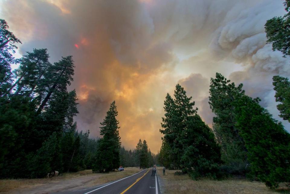
During the summer of 2020, one of the largest fires in California’s recorded history burned through 394,600 acres across five counties, including Stanislaus.
The SCU Lightning Complex fire raged through the mountain range west of Patterson in Stanislaus County. As a result, six people were injured, 225 structures were destroyed and an additional 26 structures were damaged.
The smaller Sperry Fire and Diablo Fire also burned that same year.
Are wildfires getting worse in California?
While most wildfires occur between April and October, “California faces the risk of wildfires all year now” due to the warmer and drier weather patterns, according to CalMatters.
According to the California Air Resources Board, climate change — primarily caused by burning fossil fuels — is making wildfires worse in California.
“Since 1950, the area burned by California wildfires each year has been increasing, as spring and summer temperatures have warmed and spring snowmelt has occurred earlier,” the board’s website stated.
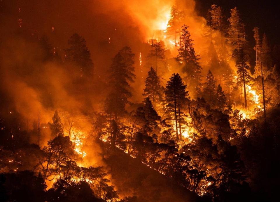
The recent “hotter” drought has led wildfires to intensify and rapidly spread across the state.
“Of the 20 largest fires in California’s history, eight have occurred (since 2017),” the website stated.
In 2023, a total of 7,127 wildfires burned across California, according to data from the California Department of Forestry and Fire Protection. As a result of those fires, 324, 917 acres burned, four people lost their lives and 71 structures were either destroyed or damaged.
As of Monday, California has seen 172 wildfires so far this year, according to the agency.
What do you want to know about life in Modesto? Ask our service journalism team your top-of-mind questions in the module below or email servicejournalists@modbee.com.

