
Hikers keep getting lost when relying on trail apps. Alberta Parks says better planning is the solution
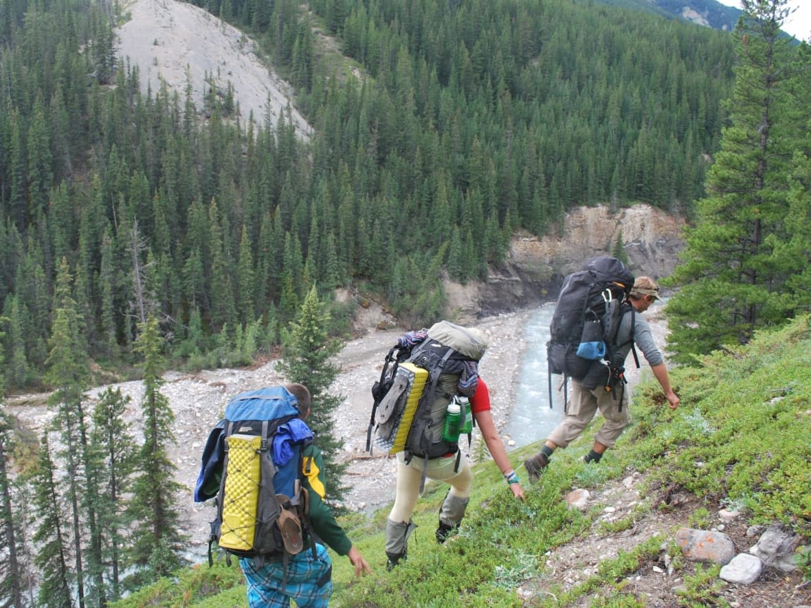
Alberta Parks is asking people to be mindful when hiking, and not rely on popular apps like AllTrails, after responding to hundreds of incidents where hikers went astray and got lost.
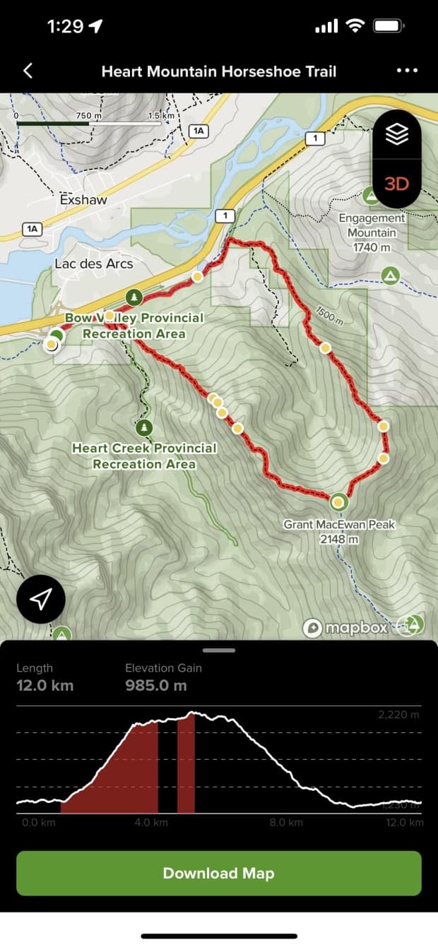
AllTrails allows users to access a database of trail maps, which includes crowd-sourced reviews and images.
Darren Vonk, a public safety specialist with Kananaskis Country, said the team has responded to at least 300 incidents this year of people needing help due to poor navigation skills.
"A lot of our calls are hikers who are getting pulled off trail, bad route finding and a lot of bad research that's gone into their trip," Vonk said in an interview with CBC's Radio Active on Wednesday.
LISTEN | Kananaskis Country public safety specialist speaks to CBC's Radio Active about hiking safety
Vonk said the problem isn't exclusive to AllTrails, as multiple hiking trail map applications are available for people to use.
His team has responded to calls stretching across Kananaskis Country, which is comprised of provincial parks like Bow Valley Provincial Park, Peter Lougheed Provincial Park and Spray Valley Provincial Park.
He said there are a variety of pitfalls in the average hiker using only apps to map out a trail.
"Where we're seeing people getting lost is they're not able to read terrain to the easiest path ... and that's where people are getting into trouble coming down into cliffy terrain or just coming into terrain that doesn't work for a hiker," Vonk said.
It can especially be dangerous for beginner hikers who may not have a full understanding of how demanding a trail is and how to return back safely, Vonk said.
In a statement to CBC on Monday, AllTrails spokesperson Meaghan Praznik said the data provided by the app is accurate.
"Through our dedicated in-house data integrity experts, parks partnership team, and feedback and real-time updates shared by our community of users, we are able to maintain accurate and up-to-date trail pages," said Praznik.
"Our data integrity team reviews trail data to ensure it is safe for our users; we've conducted a full review of the Kananaskis County trails and can confirm that our information is current. Additionally, AllTrails' parks partnerships team communicates with parks and land managers, including Alberta Parks, to ensure the public receives the best possible information."
Praznik's statement includes a recommendation that trail-goers review recent trail condition updates and download trail maps for offline use in the app before heading out, especially for areas with poor or no cell service.
Reliable information
Vonk said AllTrails community-based approach can be useful when users leave reviews noting the condition of trails.
But often when the team rescues a wayward hiker, a lack of research is the main culprit.
"AllTrails does have a lot of really great information on it and really comes down to the users using that information appropriately ... finding the suitable trails for them, being realistic with what their actual abilities are," Vonk said.
While it may seem old-fashioned to some, Vonk said it is important to plan hikes ahead and refer to guidebooks, satellite images and checking official trail reports.

