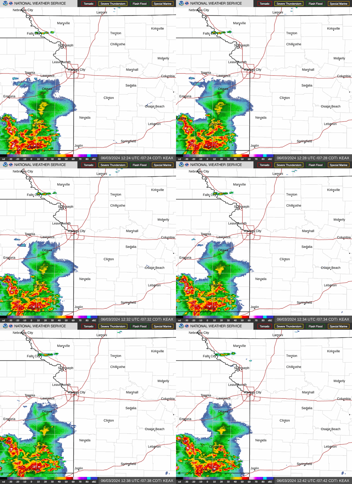
KC area under severe thunderstorm watch. Supercells could bring tornadoes, large hail
A severe thunderstorm watch was issued for the Kansas City area Friday as the weather forecast indicated supercells could produce large hail, gusty winds and possibly tornadoes, according to the National Weather Service.
The watch comes as the risk of severe thunderstorms increased for some areas in the Kansas City region. The National Weather Service’s Storm Prediction Center has identified an enhanced risk of severe thunderstorms in northern parts of the Kansas City metro area as well as parts of northeast Kansas and northwest Missouri.
The storms are expected between 2 and 11 p.m., the weather service said.
“Thunderstorms are expected this afternoon, but uncertainties remain in precise locations for initial development,” the weather service said.
Cities that fall under the enhanced risk include Leavenworth and Lansing in Kansas and St. Joseph, Excelsior Springs and Maryville in Missouri. Meanwhile, other parts of the Kansas City area still remain under slight risk of severe thunderstorms.
A supercell is a large thunderstorm that has a deep and persistent rotating updraft. It looks like a very tall storm cloud that has an anvil or elongated cloud at the top.

The storms are developing over east and central Kansas and are moving east into Missouri. Damaging winds, hail the size of golf balls or larger, and isolated tornadoes will be possible from the storms, according to the weather service.
The areas most likely to see the strongest storms are across northeast Kansas and northwest Missouri.
Severe weather will be possible again Sunday afternoon and evening. The is a possibility for some showers and thunderstorms Sunday morning, but those storms are not expected to be severe, the weather service said.
Damaging winds and large hail are the main threat from the storms that do become severe Sunday afternoon.
Weather watches and warnings
A live data feed from the National Weather Service containing official weather warnings, watches, and advisory statements. Tap warning areas for more details. Sources: NOAA, National Weather Service, NOAA GeoPlatform and Esri.

