What the Miami weather forecast says about your weekend and the coming Juneteenth holiday
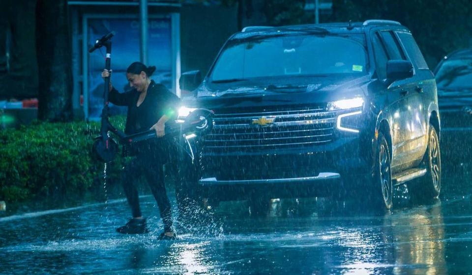
If, like Tina Turner once sang, you “can’t stand the rain,” you may have to stay inside Saturday and commiserate along to her records. More rain from that nasty disturbance that has deluged South Florida all week remains in the weekend’s forecast.
The National Weather Service issued a flood watch Saturday morning through 8 p.m. since the grounds are so saturated from some 20 inches of rain that has fallen in parts of Miami-Dade and Broward since Tuesday.
What the weekend forecast says

▪ Saturday: Scattered showers and thunderstorms are likely throughout Saturday with the best chances during the afternoon and evening hours — though South Florida still woke to showers in the morning.
Think you’ll escape the wet weather on a day trip out of here to the Keys? Nope. As of Saturday morning there are no flood watches issued for the island chain, but there’s still a 60% chance of showers and isolated thunderstorms Saturday. Though the percentages drop Sunday into the work week to around 30%, expectation for some isolated storms remains and, with easterly winds expected to kick up on Monday, small craft advisories are likely, according to the weather service in Key West.
“While coverage and intensity of rainfall is not expected to rival the tropical downpours earlier in the week, additional rainfall of any amount over east coast metro areas could exacerbate the currently saturated conditions,” meteorologists at the service wrote in a news alert Saturday morning.
▪ Sunday: Rain chances dip to 40% on Sunday and the nighttime forecast calls for 20% with northeast winds up to 13 miles per hour.
▪ Work week and Juneteenth: Monday looks at a 30% chance but inches back up to 50% on Tuesday and the Wednesday Juneteenth holiday could see some storms with wind gusts over 20 mph. Thursday and Friday face 70% storm chances.
Areas under flood watch
Saturday’s flood watch for east coast Miami through Fort Lauderdale areas includes these locales:
▪ Cities and landmarks: Miami, Hialeah, Kendall, Kendale Lakes, Carol City, Royal Palm Ranger near Homestead, the Mahogany Hammock trail in the Everglades, Miramar, Pembroke Pines, Deerfield Beach, Coral Springs, Davie, Fort Lauderdale, Pompano Beach, Sunrise, Hollywood, and Sawgrass Mills Mall.
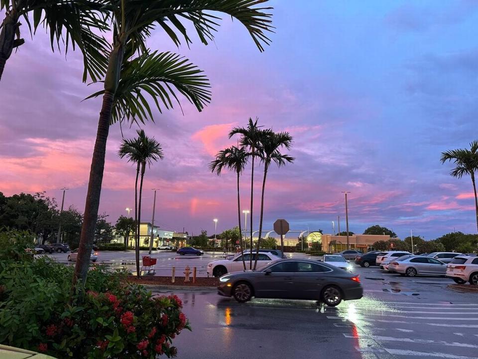
The bright side? The cloud coverage has kept temperatures in the 80s and another week of highs in the mid-80s is expected. And aren’t the painted sky sunsets and occasional rainbows gorgeous?