
Montreal should make it easier to walk or bike to large parks, public health recommends
Montreal Public Health is recommending the city make it easier and safer to access some major parks.
A report put together by regional public health and four other groups found that Angrignon Park in the southwest, Promenade-Bellerive in the east end, and Pointe-aux-Prairies park on the eastern tip of the island are often difficult to reach except by car.
The organizations are calling on the city of Montreal to improve public transit service and bicycle networks in certain sectors of the city, Radio-Canada is reporting.
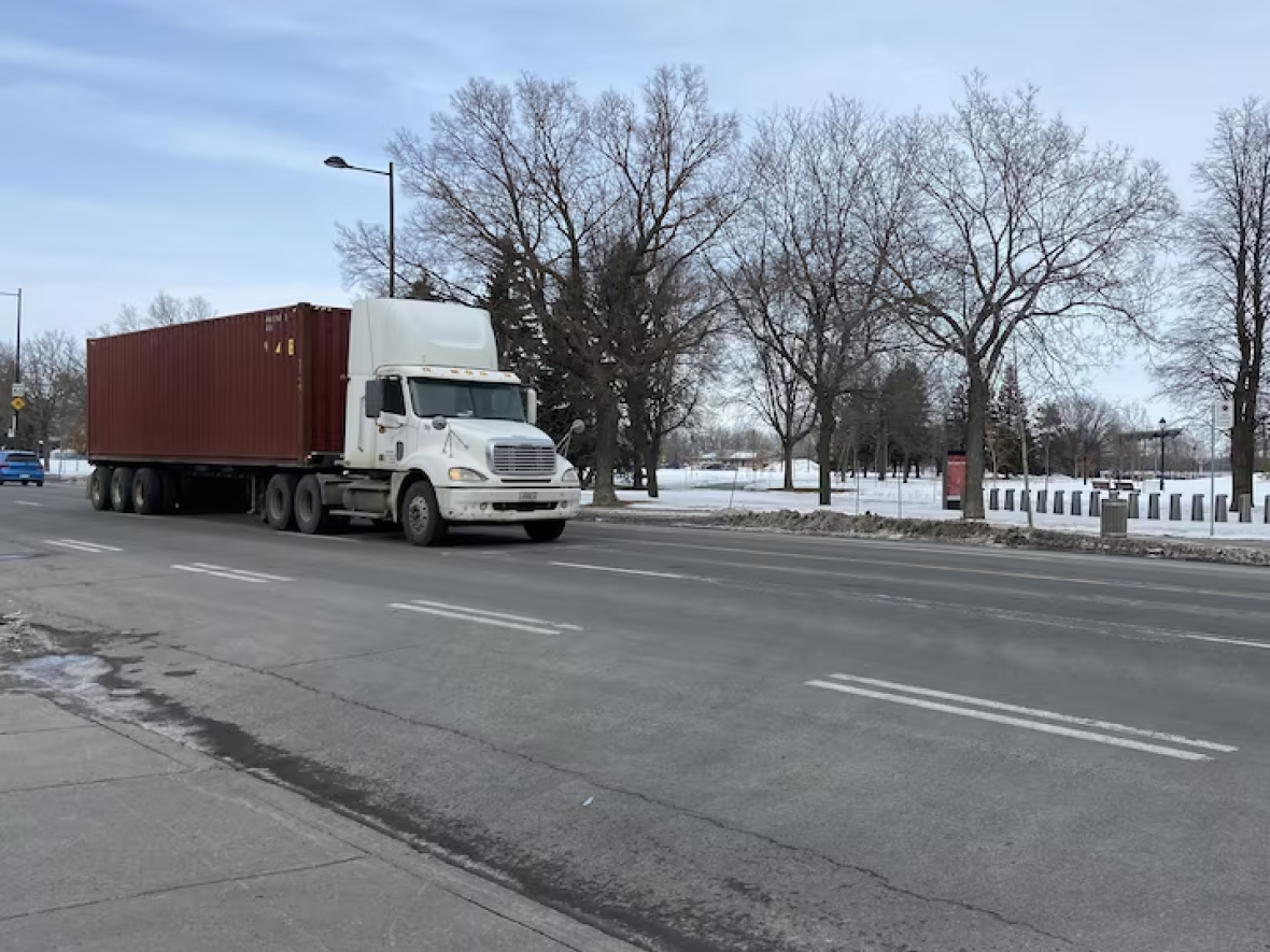
Pedestrian crossings near Promenade-Bellerive are daunting, Anne Pelletier, head of service at the Montreal Regional Public Health Department said, pointing to the four lanes of traffic that pedestrians must cross to reach the park.
The groups found that Notre-Dame Street at Promenade-Bellerive Park is one of the most challenging areas for pedestrians to cross.
"There are about 20 seconds to cross the street. It's OK for an average adult, but when you have kids, if you're an older person, with limited mobility, then the 20 seconds is really an obstacle course," she said.
Difficulty reaching Pointe-aux-Prairies Park
Located near some underprivileged neighbourhoods and one of the lesser-known large parks in the city, Pointe-aux-Prairies is very difficult to access on foot, by bike or by public transport.
The nearest Bixi station is about a 50-minute walk away, and there are few bike lanes to get to the park.

"The layout of Gouin Boulevard is in no way suitable for walking," the report reads.
Pelletier said the park has "the potential to be really used more than it is currently," but can't as long as there are so many obstacles to getting there.
For people living in the east end to enjoy the park, which borders the Rivière des Prairies and the St. Lawrence River, the city would need to improve public transit service beyond rush hours, Pelletier said.
Changing how we see large urban parks
Mikael Saint-Pierre, an urban planner at the Centre d'écologie urbaine de Montréal, one of the groups that produced the report, said that municipal decision-makers and professionals in the province tend to deal with parks separately from the city.
"It's because we've always done it that way that we still do it," Saint-Pierre said. "We are going to think about [the] quadrilateral of the park, the interior … but we aren't necessarily going to make the link with what is called the second skin of the park: the traffic toward the park, the amenities."
According to the report, 40 per cent of Montrealers can access a park within 15 minutes on foot.
The five organizations want the city to consider large parks as major generators of travel — like hospitals and universities.
They say doing so would mean including large parks in the analysis of public transit line routes and connecting bike paths to networks.
According to Robert Beaudry, the Montreal executive committee member responsible for urban planning, the Valérie Plante administration is well aware of the concerns.
He said some changes, such as adding Bixi stations and bike racks, depend on the borough.
"All urban planning of our territory, [including] the planning of our large parks and the connectivity of our green spaces between them, will be linked to the development of mobility," he said.

