
BCIT cancels Monday evening classes as snow creates travel challenges in Metro Vancouver
BCIT says its campuses are closed Monday night as shifting flurries of snow create challenging travel conditions.
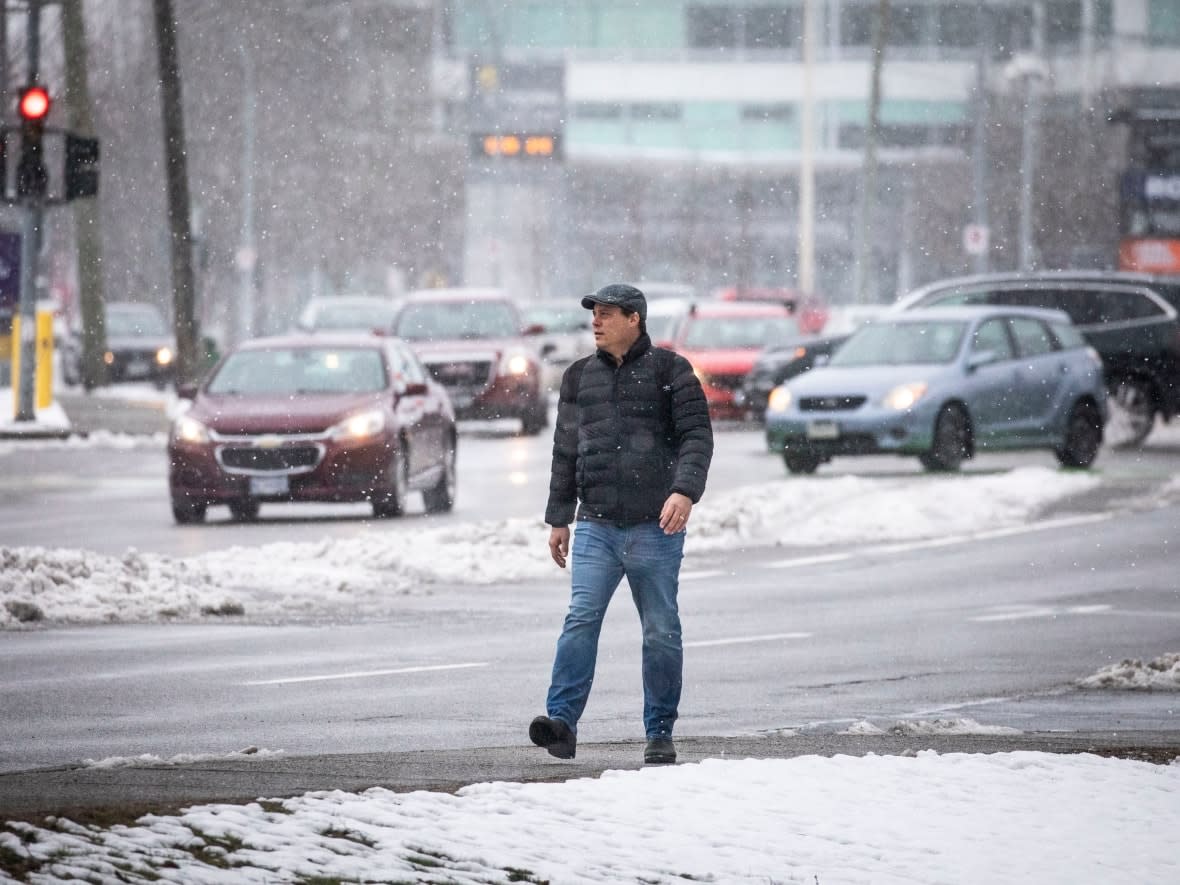
Environment Canada issued a special weather statement across Metro Vancouver saying snowfall amounts will be highly variable by location depending on elevation and how close they are to the coast with most places receiving between two to four centimetres while others may receive 10 centimetres.
The post-secondary institution says evening in-person classes and exams at all its campuses are cancelled.
The weather agency says a small scale low-pressure system near Vancouver Island is causing the bands of flurries to cross into the Metro Vancouver area overnight and into Tuesday morning.
The special weather statement is in effect from Langley to West Vancouver.
Monday morning, snowfall warnings were issued for the Malahat Highway near Victoria, the Southern Gulf Islands and the eastern coast of the Island. Alerts remain in place into the afternoon, and Environment Canada said it expects between 10 and 15 centimetres.
"An area of low pressure over the Pacific Ocean will produce an intense band of snow over southern Vancouver Island," an advisory read. "The snow will begin [Monday] morning and continue until Tuesday morning."
Travellers on the Malahat Highway are warned to drive carefully.
A statement from the provincial government issued Monday reminded drivers to avoid unnecessary travel during poor weather. It also said drivers should be aware that provincial bridges and highways may be closed on short notice due to safety concerns.
Drivers are reminded to avoid all unnecessary travel when weather conditions are poor
Flurries follow weekend frost
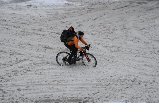
The fresh snow comes after parts of Vancouver Island and the Sunshine Coast received up to 40 centimetres on Saturday into Sunday.
On the mainland, Metro Vancouver and the Fraser Valley received between 10 and 25 centimetres, while northern B.C. and the central Interior saw up to around 30 centimetres in some areas.
Several municipalities broke daily snowfall records on Sunday, Environment Canada said.
Abbotsford saw 19.3 centimetres, more than tripling the old record of 6.6 set in 1956. Kamloops saw 11 centimetres, breaking the record of 8.4 from 1974.
Williams Lake broke its 2011 record of 6.6 centimetres with 11.2 falling on Sunday.
Weather warnings outside of the Island had lifted by Monday.
"We had a system approach from the Gulf of Alaska [that] slid all the way down the coast, giving us lots of heavy snowfall," said Bobby Sekhon, a meteorologist with Environment Canada.
Sekhon said temperatures on B.C.'s South Coast and Vancouver Island were expected to rise Sunday but dip back below freezing at night, which could cause a freeze-thaw cycle and occasional flurries. He said this could lead to slippery road conditions.
Traffic at Vancouver International Airport was back to "98 per cent of regular operations" on Monday after the snow led to hundreds of cancellations over the weekend, a spokesperson said. Thirteen flights were cancelled Monday, "mostly because of other cities being impacted."

