
What’s next for Sacramento after weekend storm? Here’s how much rain has fallen so far
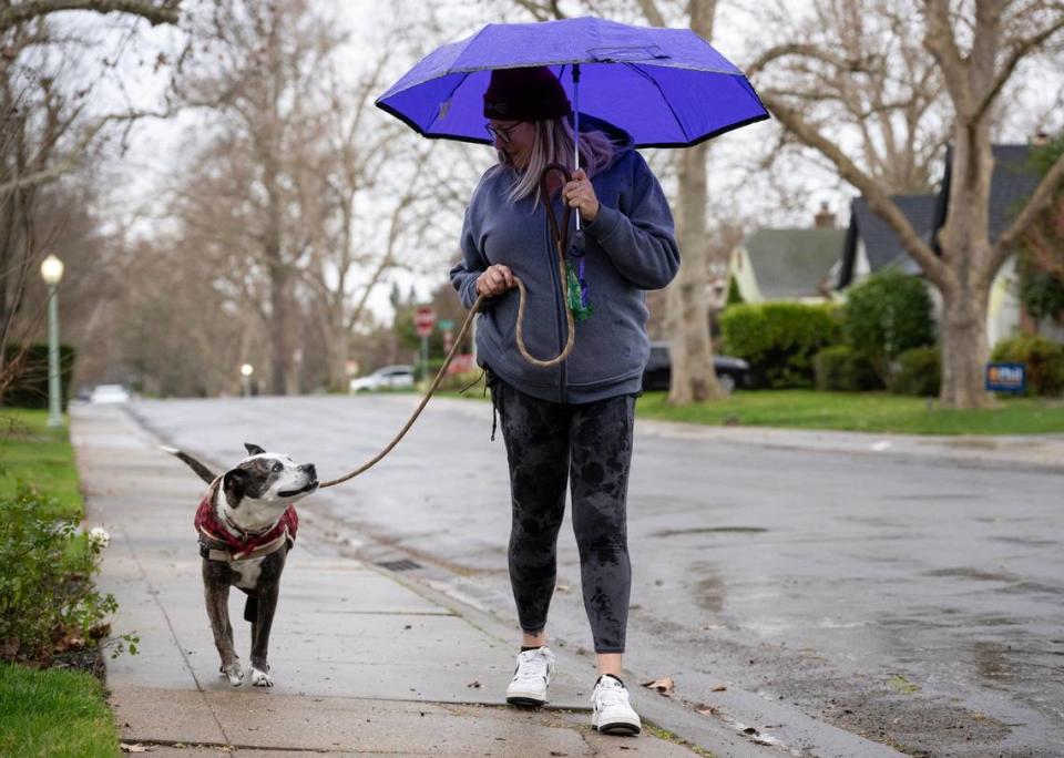
After an atmospheric river slammed into the Sacramento area over the weekend, bringing heavy rain, powerful winds and power outages, more rain is headed to the region.
There is a possibility of showers and thunderstorms after 4 p.m. Monday, according to the National Weather Service.
“There is a chance of some thunderstorms developing and those would most likely be developing after about (1 p.m.) today,” said Craig Shoemaker, a National Weather Service meteorologist based in Sacramento. “There could be some heavy rain and some small hail, gusty winds and maybe even some isolated funnel clouds.”
Weak tornado possible in Sacramento region, weather service says. Is it a threat?
The Sacramento area will remain under a flood watch until 4 a.m. Tuesday, the weather service said.
How much rain fell in Sacramento?
According to the National Weather Service, precipitation totals varied throughout the Sacramento area with some areas receiving as much as 2 inches of rain.
It really just “depended on where you were at,” Shoemaker said.
“There were some areas that got less (rain) and some areas that were probably right on” compared to the forecast, he said.
Here were the 48-hour rain totals for the Sacramento area as of Monday morning, according to the weather service:
Sacramento: 1.17 inches of rain
Sacramento International Airport: 1.63 inches
Rancho Cordova: 2.13 inches
Elk Grove: 1.77 inches
Folsom Lake: 0.75 inches
Fair Oaks: 1 inch
Auburn: 1.52 inches
El Dorado Hills: 0.83 inches
Placerville: 1.14 inches
Rocklin: 0.87 inches
Citrus Heights: 1.97 inches
What’s in the weather forecast for the area?
According to the National Weather Service, more rain is expected Monday and throughout the week.
The high temperature on Monday was expected to reach 59 degrees, with the overnight low dipping to 45 degrees, according to the weather service.
There will be “unsettled weather behind the system,” Shoemaker said.
On Tuesday, there is a slight change of rain with the high temperature expected to reach 58 degrees and an overnight low temperature of 42 degrees, according to the weather service’s five-day forecast.
There’s also a possibility of rain on Wednesday. Temperatures will reach a high of 54 degrees and a low of 41 degrees.
How fast were wind gusts in Sacramento last night? See peak speeds — and what’s next
On Thursday, the chance of showers continues with temperatures in Sacramento reaching a high of 54 and a low of 40 degrees, the weather service said.
The Sacramento area will see partly sunny skies on Friday and throughout the weekend, the agency said, with highs in the mid 50s and overnight lows in the high 30s.
What do you want to know about life in Sacramento? Ask our service journalism team your top-of-mind questions in the module below or email servicejournalists@sacbee.com.

