
Powerful nor'easter to blast Nova Scotia with strong winds and wintry weather
Live, 2:30 p.m. AT: CBC meteorologist Tina Simpkin takes your questions via Facebook on the coming storm.
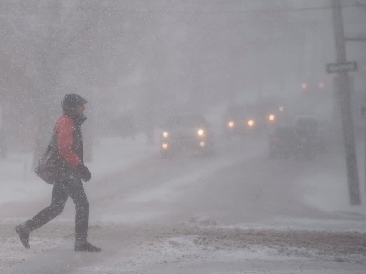
A powerful nor'easter approaching Friday is expected to bring heavy rain, strong winds and an icy mix of precipitation for southern and eastern Nova Scotia with heavy snow for more northern and western areas.
It's the second winter storm to hit the province in a week.
Environment Canada has issued weather warnings for all of Nova Scotia and advises postponing non-essential travel. There's also a likelihood for power outages so people are advised to stock up on emergency supplies.
Nova Scotia Power has activated its emergency operations centre ahead of the storm.
In a news release, the utility said it's not safe for crews to go up in buckets while winds exceed 80 km/h. It also said freezing temperatures may prolong outages since it makes it harder to get ice and snow off equipment.
Rain this morning is expected to transition to snow later this afternoon in the Annapolis Valley and northern Nova Scotia. The snow will be heavy at times and mixed with ice pellets. The changeover will happen a little later for other parts of the province.
The northern half of Nova Scotia, from Yarmouth County through the Annapolis Valley and into Cumberland County, will likely get the most snow with 20-40 centimetres expected Friday evening into Saturday morning.
Inland Nova Scotia, from west to east, can expect about 10-20 millimetres of rain before that changes to a mix of icy precipitation. About 10-20 centimetres of snow is expected Friday evening.
Along the Atlantic coast, heavy rainfall of between 20-50 millimetres is expected with the highest amounts in Guysborough County and southern Cape Breton. That will change Friday evening to a mix of snow and ice pellets in amounts of between 5-10 centimetres.
Strong winds and plunging temperatures
On top of all that, strong northwest winds gusting between 60 and 100 km/h are expected across the province with the highest winds in Guysborough County and Cape Breton.

"There is also a risk of thunderstorms in the eastern mainland and Cape Breton overnight as the system intensifies," said CBC meteorologist Tina Simpkin.
As the storm moves eastward on Saturday, Simpkin said high winds will continue through the afternoon. Snow and blowing snow is expected to continue throughout the day as temperatures plunge. On Saturday afternoon, the wind chill will make it feel as cold as -28 in parts of the province.
There is also the possibility of a storm surge in some coastal communities during high tide Saturday morning and evening, including those along the Atlantic coast, Cape Breton, and Pictou and Antigonish counties.
Halifax Regional Municipality said in a news release Friday that the overnight winter parking ban will be enforced from 1 a.m. to 6 a.m. on Saturday.
MORE TOP STORIES

