
Quick-hitting winter plunge to sweep over Ontario this weekend
Get ready for a quick-hitting surge of chilly air to sweep across southern Ontario to start the weekend as a cold front sweeps across the region.
Friday will be one of those odd days when the daytime high temperature occurs relatively early in the day before the front arrives. Readings will quickly fall in the hours following the front’s passage, bottoming out on Saturday before rebounding to end the weekend.
Some communities like Ottawa have an outside chance of seeing their coldest temperatures so far this season—but it’ll be a tall order for this warm winter.
RELATED: Ontario feels warmest start to February before seasonal temperatures return
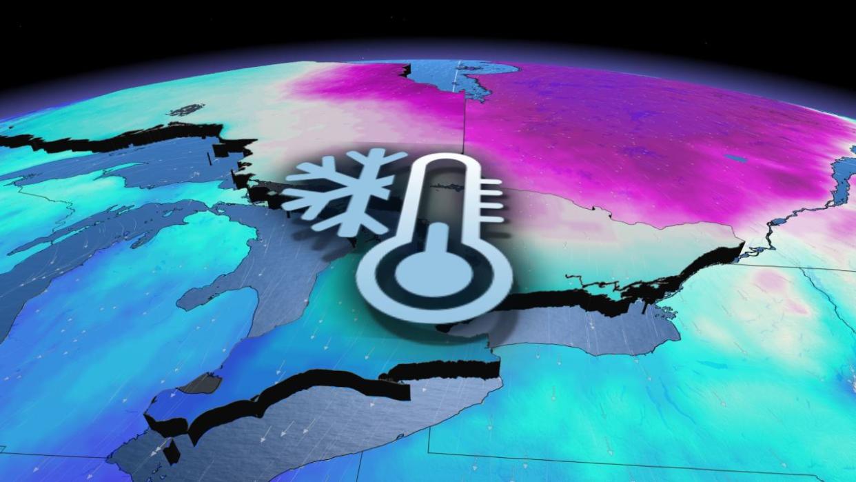
Cold air arrives despite an unseasonably warm winter
The impending surge of cold air will feel especially chilly given that we’re sliding through an unusually warm winter across the region. After a relatively rare ‘green Christmas’ in Ontario and astounding warmth across typically frigid parts of Northern Canada, the Great Lakes just registered record-low ice coverage at a time when lake ice usually nears its peak.
Persistent above-seasonal temperatures are the norm this season thanks in large part to patterns influenced by El Niño. Despite the prevailing pattern, though, winter isn’t over and bursts of chilly temperatures can still cut through the region.
The chill arrives on Friday
A cold front sweeping out of northern Ontario will send temperatures tumbling through the day Friday.
Folks across central Ontario will see readings fall through the morning hours, while southern Ontario will see the day’s warmest temperature by early afternoon before the front arrives and chilly air pushes through.

Temperatures will bottom-out on Saturday morning with central and eastern Ontario waking up to readings between -16°C and -20°C.
Ottawa’s predicted low temperature has increased slightly from previous forecasts, with an expected low of -17°C. It’ll be tough for Ottawa to get much colder than that, so the odds of hitting -20°C are shrinking.

The capital city has never gone a winter without hitting -20°C at least once—and they’ve failed to hit that mark so far this season. It’ll continue to get harder and harder for Ottawa to reach -20°C as spring closes in over the next few weeks.
Down through southwestern Ontario and the Greater Toronto Area, lows on Saturday morning will dip to about -6°C in Windsor and crack into the minus-teens around Toronto and Hamilton.
Wind chill values across the region will give the frigid air an extra bite, so take the wind into account when planning what to wear as you head out to start the weekend.

This pattern isn’t going to stick around very long. The upper-level trough allowing the cold air to spill into southern Ontario will continue moving on its merry way, allowing temperatures to rebound above freezing by Sunday.
Forecasters are looking ahead to the potential for double-digit daytime highs returning by the middle of next week.
Stay with The Weather Network for all the latest on your forecast across Ontario.

