
Rare supermoon coinciding with Tropical Storm Idalia could be trouble for Beaufort County
Normally a rare spectacle, warm orange and glowing in the night sky, Wednesday night’s supermoon could stir up trouble for Beaufort County as Tropical Storm Idalia surges water levels.
A supermoon, which occurs when a full moon is closest to the Earth, causes a stronger gravitational pull that raises tides higher than normal. This one — called a blue moon — is particularly rare — because it’s the second full moon in a month. But its timing couldn’t be worse.
In Beaufort County, Wednesday’s supermoon-driven high tide will surge to 9.1 feet at 9:30 p.m., according to US Harbors.
Then there’s Hurricane Idalia.
The storm is expected to dump between 1 and 4 inches of rain and bring potential storm surge up to 4 feet to Beaufort County. And that’s on top of Wednesday’s King tide.
The clash between the supermoon and Tropical Storm Idalia will raise tide levels even higher and exacerbate flooding in the Lowcountry.
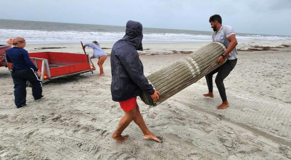
Beaufort County has been under a flood watch and storm surge warning since early Wednesday morning.
A flood watch is issued when conditions are favorable for flooding, the National Weather Service said. However, it does not mean flooding will occur, but it is possible.
A storm surge warning is the danger of life-threatening inundation from rising water moving inland from the shoreline somewhere within the area, in association with a tropical, subtropical or post-tropical cyclone, according to the National Oceanic and Atmospheric Administration.
The highest coastal flooding is expected Wednesday evening from 6 p.m. to 10 p.m.

