
Severe storms with golf-ball-size hail wallop Charlotte region Tuesday night, NWS says
Repeated rounds of severe storms with damaging wind and hail struck the Charlotte region and other parts of North Carolina late Tuesday, knocking out power to nearly 12,000 Duke Energy customers .
At least 4,000 customers were without electricity in the Cherryville and Spencer Mountain areas of Gaston County, while only a few hundred lost power in Mecklenburg County, according to the Duke Energy outage map at 10:30 p.m.
Another 4,000 residents lost power in the Winston-Salem and Greensboro areas.
Earlier Tuesday, the NWS issued a severe thunderstorm watch until 10 p.m. for Iredell, Catawba and Rowan counties and a wide stretch of the mountains and the Greensboro-Winston Salem area.
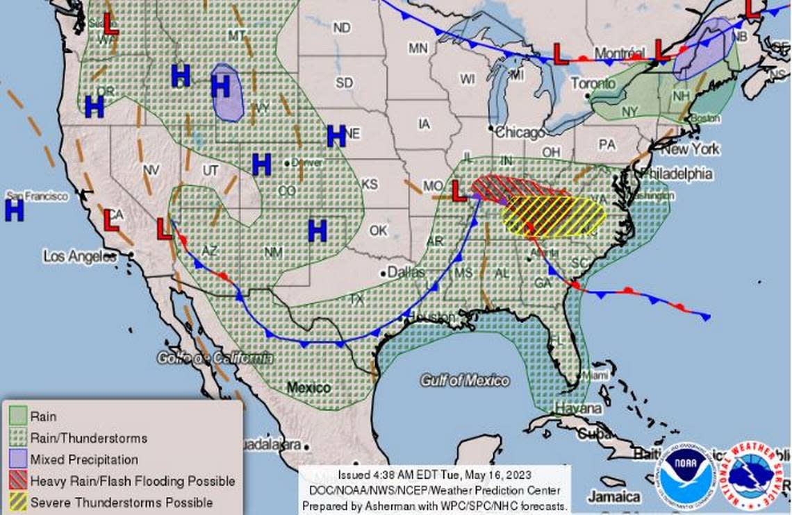
Mecklenburg and surrounding counties and the Carolinas mountains fell under the NWS warning.
At 6:10 p.m., the NWS said a “strong supercell thunderstorm” was dumping hail possibly as large as golf balls in northern Cleveland County and was expected to move into Lincoln and Gaston counties.
Just before 8:15 p.m., the NWS said 40 mph winds and pea-sized hail threatened Mint Hill, Unionville and Fairview until 8:45 p.m.
And a second round of storms developed in the Charlotte region, including the Lake Norman area, in the 9 p.m. hour.
Just after 9:30 p.m., the NWS warned of severe thunderstorms packing 60-mph winds and pea-sized hail in Huntersville, Concord and Kannapolis until 10:30 p.m.
No injuries were reported. Numerous trees were downed across the region, according to multiple media reports
Flight delays
By 9:30 p.m., at least 237 flights were delayed at Charlotte Douglas International Airport on Tuesday, including 143 take-offs and 95 inbound planes, according to FlightAware.com, which monitors U.S. flights 24/7.
Before the night was over, areas along and north of Interstate 40 were expected to see the greatest threat of intense storms, meteorologists said in a hazardous weather bulletin.
6:10 pm Tue: A strong supercell thunderstorm in northern Cleveland County, NC may be producing large hail (perhaps golf ball size). The storm will be moving into Lincoln and Gaston counties. If you see hail bigger than a penny, tweet us a photo and use hashtag #nwsgsp! pic.twitter.com/5InuDjf6OL
— NWS GSP (@NWSGSP) May 16, 2023
Storms headed from the west, NWS meteorologists said.
Heavy rains from repeated storms could flood roads in some areas, according to the bulletin early Tuesday. Wind gusts in Charlotte Tuesday reached 20 mph and parts of the city expected up to one-half inch of rain, NWS said.
Storms arrived ahead of a cold front, NWS forecasters said.
“These thunderstorms will have the potential to become severe and produce damaging wind gusts, large hail, and isolated tornadoes,” according to the NWS alert.
Charlotte forecast
Tuesday afternoon remained mostly cloudy with a high of 86, according to the NWS Charlotte forecast at 4:45 p.m. Tuesday. Scattered showers and thunderstorms continued through the evening.
The chance of showers drops to 20% Wednesday and Thursday, with predicted highs of 83 and 76. Winds could pick up again Thursday, with gusts up to 22 mph forecast, according to the NWS.
Friday through Tuesday should be mostly sunny, with forecast highs in the upper 70s and low 80s, NWS forecasters said.
A severe thunderstorm watch has been issued for parts of North Carolina, Tennessee, Virginia and West Virginia until 10 PM EDT pic.twitter.com/4xNqwzXlfV
— NWS GSP (@NWSGSP) May 16, 2023
Two rounds of severe thunderstorms are possible across the region today. The first round will develop late afternoon through early evening, with the second round slated for mid to late evening. Damaging winds, large hail, and isolated tornadoes are possible. #ncwx #scwx #gawx pic.twitter.com/hCl73FAmrd
— NWS GSP (@NWSGSP) May 16, 2023

