
Tornado watch expires after baseball, grapefruit size hail hits North and Central Texas
Severe weather returned to North and Central Texas on Wednesday afternoon and evening with reports of very large hail and a tornado watch, according to the National Weather Service in Fort Worth.
The tornado watch was in effect until 10 p.m., but it didn’t include Tarrant and Dallas counties. The severe weather threat for areas north of Interstate 20 decreased before the watch was issued.
The tornado watch was for counties to the south of Dallas-Fort Worth. It initially included Johnson, Hood and Ellis counties but was allowed to expire early for those three while continuing in counties farther south until 10.
Hail as big as baseballs was reported Wednesday evening near cities including Walnut Springs, Dublin and Hallsburg, and hailstones up to the size of grapefruits fell near Waco, according to reports and photos sent in to the weather service and WFAA-TV.
Several storms across Central Texas are currently producing very large, destructive hail. This is a hailstone that fell out of the storm that just moved over Waco, Texas. Take any warnings issued for your location seriously!! https://t.co/2kOKM9Gaxz
— NWS Fort Worth (@NWSFortWorth) April 26, 2023
Yes, the bull is fine! Large hail pounded Dublin, Texas (Erath County) on Wednesday during rounds of severe storms. @wfaaweather explains.
More: https://t.co/Wtv7IjT8Pj pic.twitter.com/mnh25PKu1M— WFAA (@wfaa) April 27, 2023
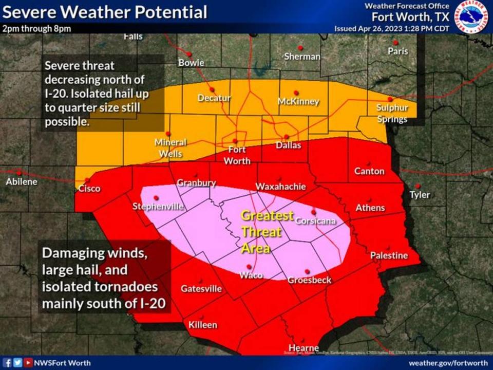
Some showers and thunderstorms moved into the Dallas-Fort Worth area beginning late Wednesday morning, but the greatest threat for the region was from about 3-10 p.m., according to NWS meteorologist Miles Langfeld.
The strong storms were forecast to include threats of tornadoes, damaging winds and hail larger than 2 inches in diameter. The biggest hailstone reported so far on Wednesday measured about 4.5 inches.
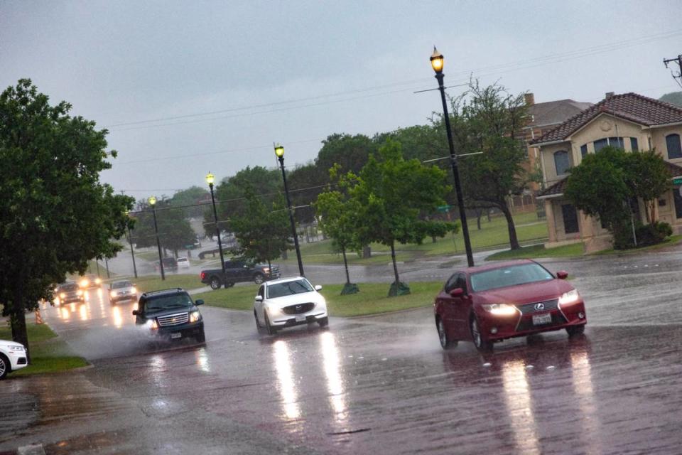
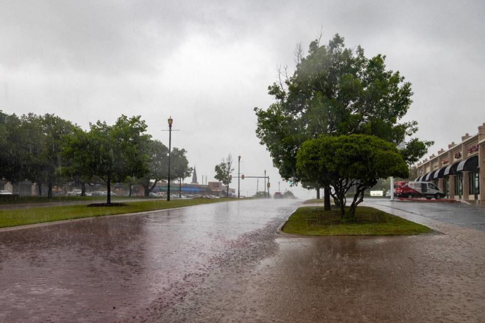
After brief heavy rainfall early Wednesday afternoon, Fort Worth police responded to a few calls about drivers stranded in high water.

Dallas-Fort Worth Airport and Love Field were experiencing flight delays, according to FlightAware.
Storm Reports
This map contains continuously updated storm reports and damage from the National Weather Service for the past 48 hours. Reports include tornado, wind storm and hail storm reports. The map also includes tornado reports for the past week and recent rainfall accumulations. Sources: National Oceanic and Atmospheric Administration (NOAA), Esri.
National Weather Service officials recommended that residents stay weather aware throughout the day and ensure they had multiple ways to receive storm warnings.
This week’s forecast
Cloudy and then sunny weather with a high of 70 and low around 52 is in Thursday’s forecast, according to the National Weather Service. A chance of storms will return on Friday.
It’s been a very busy weather year so far with all the ingredients for storms regularly falling into place, Langfeld said. The North Texas storm season runs from the end of March through early June.
3-Day Storm Outlook
This map shows the 3-day weather outlook for storms by the National Weather Service's Storm Prediction Center. Sources: National Weather Service, Esri.
Current Temperatures
Current temperatures and weather data from NOAA weather stations updated hourly. Tap on the map for current weather conditions, including humidity, wind speed. and direction. Data provided by NOAA and Esri.

