
Sierra thunderstorms could spark fires in California. Here’s when and where they could hit

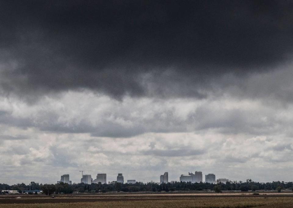
Thunderstorms could rumble over parts of Northern California on Thursday, according to the National Weather Service.
Isolated thunderstorms are expected over the Sierra Nevada crest from noon to 8 p.m. Thursday, the agency said in a Thursday morning post on X, formerly known as Twitter.
The storms are likely to occur south of Highway 50, the post said.
“The highest likelihood of these thunderstorms occurring will be in southeastern Tuolumne County,” said Kate Forrest, a meteorologist with the National Weather Service.
She added that Bear Valley and Cold Springs have a 15% chance of thunderstorms on Thursday evening.
Possible hazards include lightning, gusty winds, short periods of heavy rain and small hail, the weather service said.
There’s also potential for fire to start.
Isolated t-storms are expected over the Sierra crest this afternoon and evening, mainly south of HWY 50. Impacts will include:
️Lightning
️Gusty winds
️Brief heavy rain
️Small hail
Potential for fire starts
If a building isn't nearby, get inside a vehicle! #cawx pic.twitter.com/LsK4dqtvkx— NWS Sacramento (@NWSSacramento) June 13, 2024
Are thunderstorms normal this time of year?
It is very normal to see thunderstorms over the summer in the region, Forrest said.
“In the summer, thunderstorms typically develop in the afternoon when the sun heats air near the ground,” the weather service said. “If the atmosphere is unstable, bubbles of warm air will rise and produce clouds, precipitation, and eventually lightning.”
What’s in the weather forecast?
Forrest said high temperatures in the general area of the thunderstorms range between 65 and 75 degrees.
On Thursday, Tuolumne County near Mount Elizabeth will see a high temperature near 75 and a low temperature around 58 degrees, according to the weather service.
What do you want to know about life in Sacramento? Ask our service journalism team your top-of-mind questions in the module below or email servicejournalists@sacbee.com.
