Spring... snow showers? How many inches Boise got and how much snow is still to come
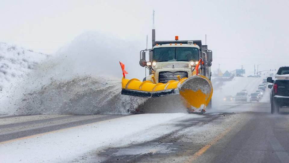
Those hoping March would usher in spring weather will have to wait a little longer after snow showers covered the Treasure Valley on Sunday.
Snow clouds started moving in the area at about 10 a.m. Sunday. By 1:40 p.m., meteorologists had measured 1.5 inches at the Boise Airport, National Weather Service meteorologist Spencer Tangen told the Idaho Statesman by phone.
One to two inches total were expected to fall in Boise on Sunday, with most snow stopping by about 1 p.m. An additional half an inch to two inches could fall in Boise between 11 p.m. Sunday and 8 a.m. Monday, Tangen said.
Higher altitudes, such as the Boise Mountains and around Bogus Basin, will likely get another 1-3 inches Sunday night, Tangen said. He also noted that Boise residents can expect scattered snow showers throughout the day on Monday, but snow is unlikely to accumulate.
“Then a more significant system will move in Monday night and Tuesday,” Tangen said. “And that will bring another chance of snow to the area. That will produce potentially heavy mountain snow and some additional light accumulations in the Valley.”
The wintry weather was caused by movement from the Pacific Ocean, according to Tangen.
“There’s a weather system that’s moving through from the Pacific, and it’s very cold,” Tangen said. “So that’s generating the span of snow that has formed over the Valley.”