
World-record ocean temperatures will influence your forecast, Canada
We have more than 40 years of precise global sea surface temperature data, and it has never been so hot in the world’s oceans.
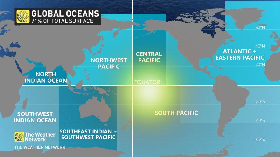
How did this happen in the winter? I promise you it will make sense. The oceans are big, comprising about 70 per cent of the entire surface area of the Earth. That’s clue number 1.
Visit our Complete Guide to Spring 2023 for an in-depth look at the Spring Forecast, tips to plan for it and much more!
The global average ocean temperature peaks at this time of year, as summer weather is in full swing in the Southern Hemisphere through February. Because of that, there’s a natural delay from the warmest temperatures to the warmest ocean temperatures.
The average global water temperature crossed the 21°C mark -- a high never before recorded. This data takes into account all the oceans of the world.
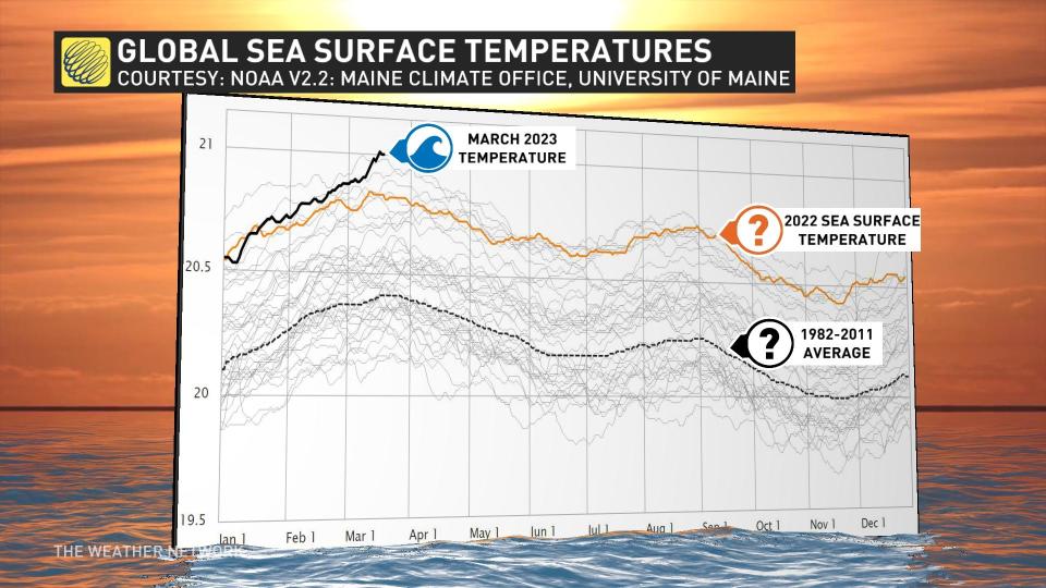
It is the first time such a mark has been observed since data collection began in 1981.
Moreover, La Niña, the chilly sea-surface temperatures west of Peru, has just dissipated after almost three years of reign. We’re waiting for El Niño, a warm anomaly off the coast of South America, to come back into the Pacific Ocean later this year, which would have a warming influence on the global average temperature.
The Atlantic Ocean is running a fever. It was likely the tipping point to attaining the world sea-surface temperature record.
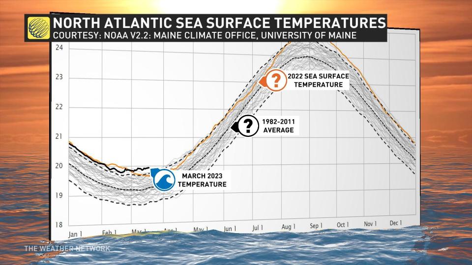
The North Atlantic contributes to this global ocean temperature anomaly, as shown by NOAA and analyzed by the Institute of Climate Change at the University of Maine.
Impacts in Canada
These warm Atlantic Ocean temperatures have the highest correlation to Canadian weather.
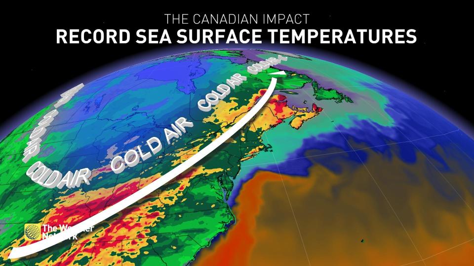
This supply of increased warmth means the atmosphere can hold more moisture; therefore, it can increase precipitation. Coastal storms and nor’easters often affect the northeastern United States and Eastern Canada, and this trend is likely enhanced this season.
An active storm track between the anomalous warmth and chillier troughs will spill across Ontario, Quebec and Atlantic Canada, with above-normal precipitation likely continuing through spring.

