
How to find wildfire news and evacuation information in B.C.
Poor internet connection? Access a low-bandwidth, accessible version of this story on CBC Lite.
Tracking wildfires in your region
Wildfires forcing people from their homes have become an annual event in British Columbia and understanding how to get the latest information from officials is vital.
The B.C. Wildfire Service (BCWS) provides a list of all current wildfires in the province, as well as an interactive map that allows you to see where the fires are burning relative to specific communities.
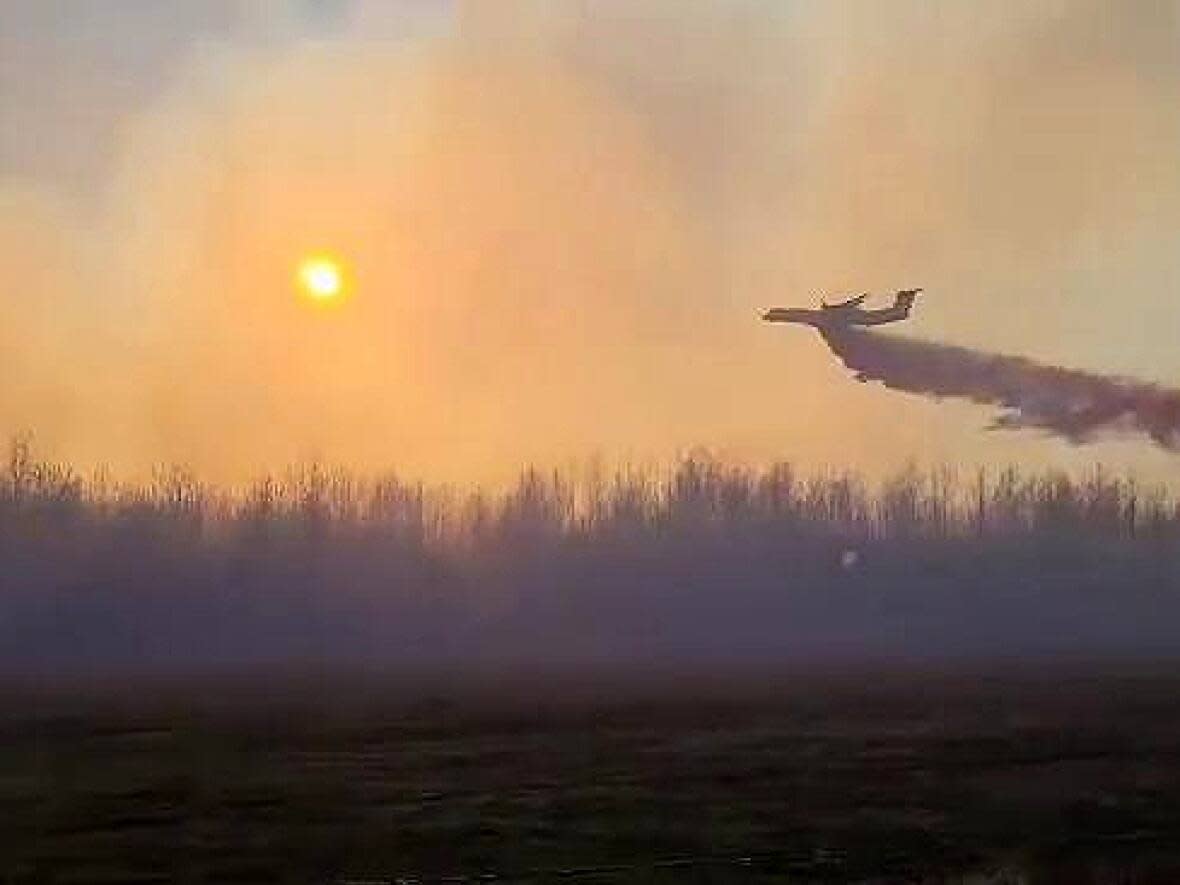
Particular attention is paid to wildfires of note, which are "highly visible" or pose "a potential threat to public safety."
B.C.'s fires of note as of 9 a.m. on May 8
Wildfires may also be classified as out of control, which means crews are not able to curb their spread. These fires may not necessarily pose a threat to public safety if they are far from homes or property.
The BCWS provides a list of all fire bans and restrictions.
Other wildfire terminology
In addition to wildfires of note and out-of-control wildfires, here are some other key terms you may hear:
A wildfire is an unplanned fire that occurs in a wilderness area, away from people or structures. A prescribed burn that escapes its intended perimeter can also be considered a wildfire.
An interface fire could potentially affect man-made structures, while at the same time burning natural fuels such as trees and shrubs. In this situation, a house fire could jump to the forest or vice versa.
When a fire is under control but still smouldering it is being held.
A fire is considered contained when a fuel-free perimeter has been established around the blaze.
You can find a full glossary of terms on the BCWS website.
Evacuation orders and alerts
Local governments are responsible for issuing evacuation orders and alerts during emergencies.
An evacuation alert means you should be prepared to leave your property at a moment's notice.
An evacuation order means you must leave the area immediately and are not allowed inside of the area covered by the order. These are often enforced by police.
Many local governments have set up text alert systems, which you can sign up for by visiting your municipal government website.
Regional districts often take the lead when it comes to emergency situations. CivicInfo B.C. maintains a directory of regional districts.
After a local government issues an evacuation order or alert, the information is later posted online by Emergency Info B.C.
Everyone affected by an evacuation order is asked to check in at a reception centre or via phone so officials can be sure they are safe.
Road closures
You can check road conditions, closures, delays and detours by visiting the Drive B.C. website, maintained by the province's transportation ministry.
If you do not have internet access, you can call 1-800-550-4997 toll-free to get current conditions.
Being prepared
Officials recommend you prepare a grab-bag of key items, such as identification, medication and cellphones, so you are ready to leave at a moment's notice.
If your home is under an evacuation alert, it is recommended you bring your kit with you when you run errands or go to work, in case evacuation orders are issued while you are out and you're unable to return home.
Prepared B.C. has a suggested packing list on its website as does the federal government.
Accessing shelter and support
If you are impacted by an emergency situation, supports are in place so you can have a place to sleep, access food vouchers and receive financial aid. This information is collected on the B.C. government's emergency management website.
Air quality

Even if flames aren't an imminent threat, smoke from wildfires can travel hundreds of kilometres and affect people's health.
Environment Canada issues public weather alerts, including air quality advisories, on its website and through social media channels.
The B.C. government also provides an air quality health index and map that use data from monitoring stations across the province.

