
Wildfires force New Mexico village of Ruidoso to evacuate homes: See map
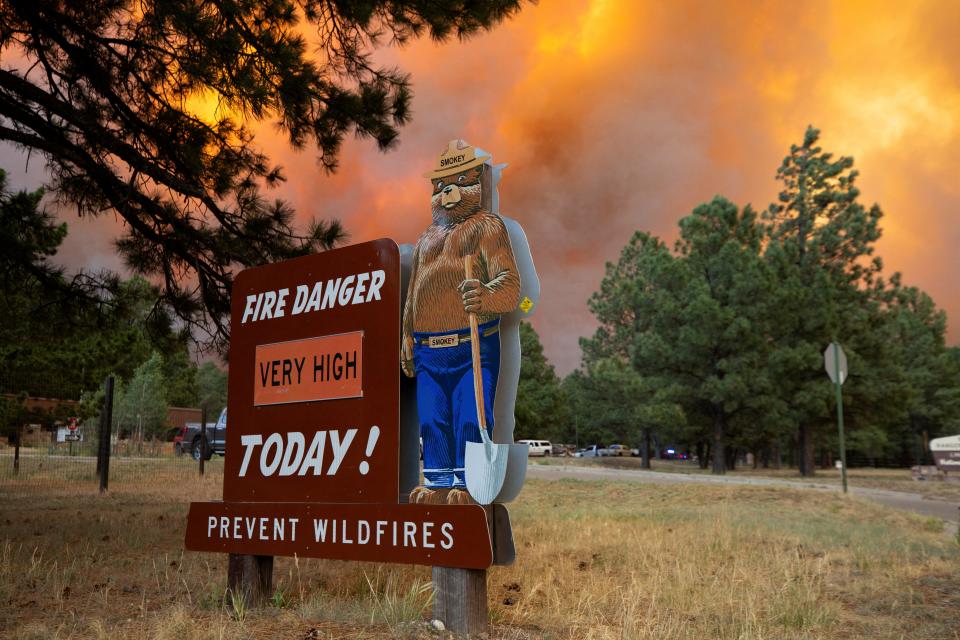
Two wildfires burned through thousands of acres in New Mexico and residents were ordered to evacuate as the fires developed rapidly. Videos show smoke from the fire billowing into the sky, looking like orange clouds, as people watch nearby.
"I strongly urge residents of Ruidoso and the surrounding areas to remain calm and heed official instructions to help minimize risk," said New Mexico Governor Michelle Lujan Grisham in a statement on Tuesday.
The South Fork Fire and the Salt Fire were discovered on Monday. The fires, which are burning on tribal land, prompted mandatory evacuations for the entire Village of Ruidoso and Ruidoso Downs, a two-hour drive southeast of Albuquerque.
The cost of the damage done by the fires is unknown, according to USA TODAY's data.
By early Monday evening, the flames damaged multiple structures, states the New Mexico Forestry Division, but how many remains unknown.
"My administration is in close contact with state, tribal and federal officials about the status of these fast-moving fires, and we are quickly deploying as many resources as possible to protect people and property," said Grisham.
Map of New Mexico wildfires
Which communities are being evacuated?
The following areas are under mandatory evacuation orders, states the Village of Ruidoso's website:
All of Ruidoso Downs
All of the Village of Ruidoso
All the areas "west of Highway 48"
All of Alto "up to the Outlaw Golf Course"
All of Gavilan Canyon Road from Highway 48 "to McDonald's."
Alpine Village
Alto Lakes
Brady Canyon
Cedar Creek
Lower Eagle Creek
Ponderosa Heights
Sierra Vista
Ski Run Road
Sonterra 1, 2, and 3
Sun Valley
Upper Canyon
Villa Madonna
West Gavilan
The Village of Ruidoso is demanding people leave immediately.
"Please do not try to gather belongings or protect your home - GO NOW," the Village of Ruidoso said in a post on X.
"GO!" Status - Please do not try to gather belongings or protect your home - GO NOW!! Evacuations for:
Sonterra 1
Sonterra 3
Enchanted Forest
IMMEDIATE MANDATORY "GO" EVACUATION FOR THE VILLAGE OF RUIDOSO is still in effect.— Village of Ruidoso (@VillageRuidoso) June 18, 2024
What streets in Ruidoso are closed?
The following roads and highways are closed to traffic, said the village in another tweet:
Highway 70 closed from Highway 244 to the east Reservation line.
Highway 48 is closed from Alpine Village to State Highway 220.
State police closed Carrizo Canyon Road to all traffic.
Evacuation routes:
"The evacuation route is via Highway 70 and out towards Roswell," states the city's website.
Where can people in Ruidoso evacuate to?
The following locations are open to people evacuating, according to multiple tweets from the village:
ENMU-Roswell gym: The Red Cross set up an emergency shelter for evacuees. If it's full, Godfrey Athletic Center is a secondary option.
Lea County Fairgrounds: The location has Stables and RV hookups, but the village asks that people contact Fairgrounds Director Wyatt Duncan at 575-333-0252.
Other places evacuees can go to according to the village's website:
Capitan High School- Capitan, New Mexico, 88316
Carrizozo High School- 800 D Ave., Carrizozo, New Mexico, 88301
Christ Community Church- 2960 N. Scenic Drive, Alamogordo, New Mexico, 88310
Church on the Move- 901 W. Brasher Road, Roswell, New Mexico, 88203
Church on the Move Dream Center- 2700 W. 2nd St, Roswell, New Mexico, 88201
Eastern New Mexico University- 52 University Blvd., Roswell, New Mexico, 88203
Godfrey Athletic Center- 101 W. College Blvd., Roswell, New Mexico, 88201
Inn of the Mountain Gods- 287 Carrizo Canyon Road, Mescalero, New Mexico, 88340
Shelters for the animals of evacuees:
THe following locations provide shelters to animals, according to the village:
Mescalero Rodeo Grounds, for livestock- Rodeo Grounds Road, Mescalero, New Mexico, 88340
Eastern New Mexico State Fairgrounds- 2500 S.E. Main St., Roswell, New Mexico 88203
Lea County Fairgrounds- 101 S. Commercial St., Lovington, New Mexico 88260
Emergency operations relocated
"The Emergency Operations Center for the Ruidoso Fire Department has been relocated to the County Courthouse in Carrizozo," said the Village of Ruidoso.
They can be reached at the following lines for information:
575-937-7785
575-973-5604
575-973-8977
Contributing: Adam D. Young, Alex Driggars; Lubbock Avalanche-Journal
Julia is a trending reporter for USA TODAY. She has covered various topics, from local businesses and government in her hometown, Miami, to tech and pop culture. You can connect with her on LinkedIn or follow her on X, formerly Twitter, Instagram and TikTok: @juliamariegz
This article originally appeared on USA TODAY: New Mexico wildfires map: Ruidoso residents forced to evacuate

