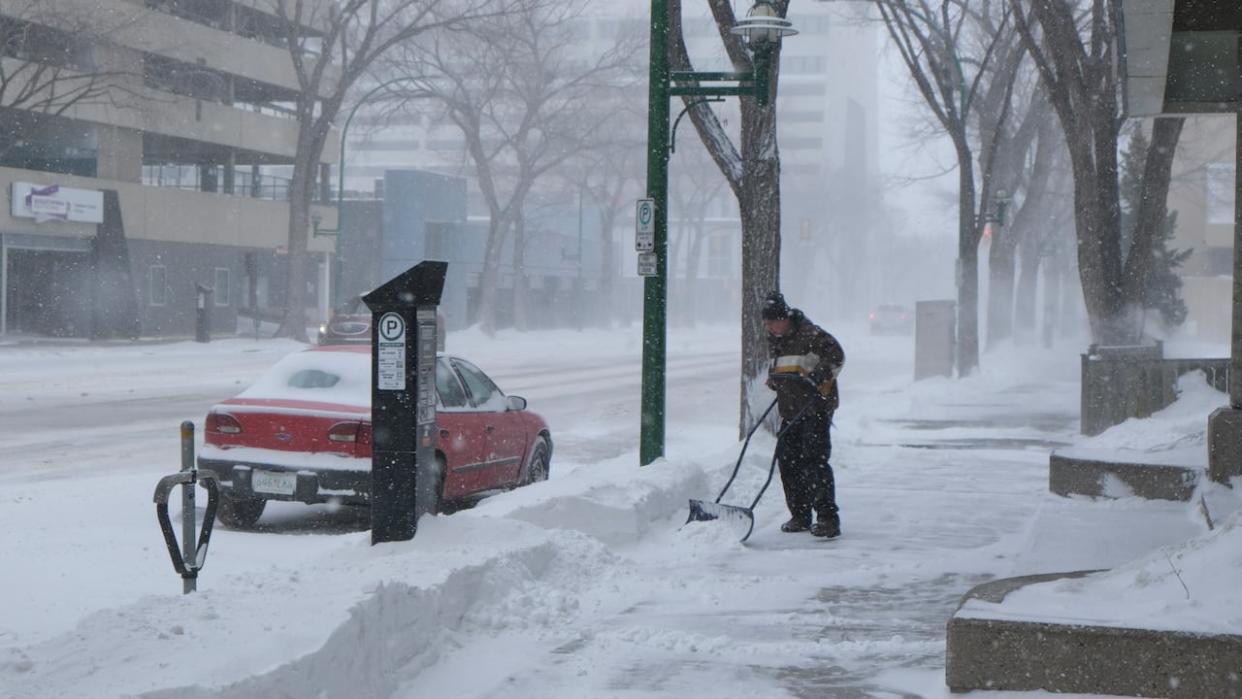
Winter storm kicks off in central and southern Sask.

The winter storm expected for this weekend started to hit areas in western Saskatchewan, particularly in the Battlefords region, on Saturday afternoon.
The system from Montana that's dumping snow into the province is expected to continue through the night and into Sunday, according to Environment and Climate Change Canada.
It was estimated to bring up to 35 centimetres of snow in parts of the province over the weekend, but Justin Shaer, a meteorologist with Environment Canada, said Saturday it's difficult to get an exact number so far.
"It's hard to get measurements right now, just because of the wind — it's blowing it all around, so we haven't had any measurements reported yet," he said.
Gusts of wind from 50 to 70 kilometres per hour have already been seen in some areas, which is making visibility on highways poor with "near whiteout conditions," Shaer said.
Travel is not recommended for areas along much of Highway 7 on the western side of the province like Kindersley, Rosetown and Marengo, according to Saskatchewan's Highway Hotline.
Travel is also not recommended on parts of Highway 4, including around Biggar, according to the hotline.
Shaer recommends travelling only if necessary, and recommended watching the hotline map for updates as the storm continues.
As of 4 p.m. CST Saturday, there was only one power outage reported in the province, but none with a cause determined to be from the storm.
SaskPower says if anyone comes across a downed power line they should stay at least 10 meters away and call 306-310-2220 to report it.
The southeast will get hit with the brunt of the storm starting Sunday, according to Shaer. Areas like Regina, Estevan and Yorkton are expected to get high winds and a dump of snow before the system pulls off into Manitoba.


