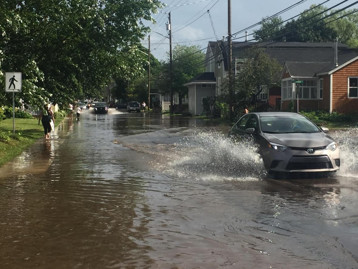
Worried about climate change and flooding? Here's where to check

The P.E.I. government has published updated coastal flood maps to help Islanders plan for the future as the climate changes.
Climate Action Minister Steven Myers announced the launch of the online mapping tool in the legislature Thursday afternoon, which is designed to help with coastal planning and development.
"These new maps help Islanders make decisions based on accurate information," said Myers in a news release.
"We need everyone to feel a sense of urgency when it comes to climate change."
The maps show P.E.I.'s coastal floodplains for 2020 and projections for 2050 and 2100.
Along with the map, the province announced a new, free online course on protecting homes from flooding and erosion.
The course was developed in collaboration with the Canadian Centre for Climate Change and Adaptation at UPEI and the Intact Centre on Climate Adaptation.
"[This will] help islanders identify their unique lot-level risks and prioritize practical actions to make their homes and properties climate ready," said Cheryl Evans of the Intact Centre.
The course features risk-assessment tools, flood insurance fact sheets and how-to videos.
Both the map and the course are available on the province's Coastal Hazards Information Platform.


