
3 communities expected to hit flood stage in New Brunswick this week
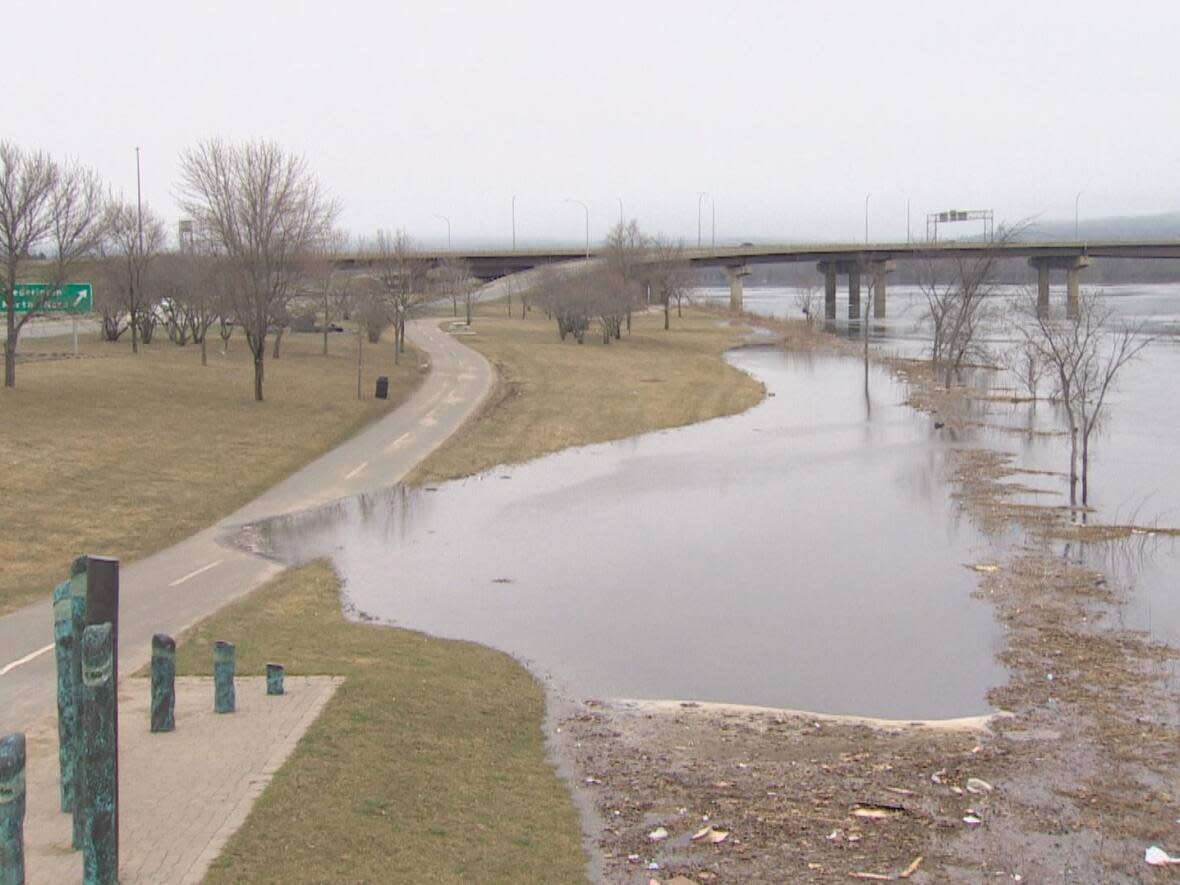
Fredericton and Gagetown are set to hit flood stage on Wednesday and Jemseg on Friday, according to the province's River Watch site.
Geoffrey Downey, spokesperson for the New Brunswick Emergency Measures Organization, said flood stage in Fredericton is 6.5 metres, and it is expected to to hit 6.7 by Thursday. But he said the real impacts are not usually seen until around seven metres.
"At six, seven, you can usually see water on the green, for example, but it certainly won't be closing roads at that point."
River Watch is an online platform that shows water levels in the St. John River, also known as the Wolastoq, and its tributaries.

In Gagetown, flood stage is four metres. According to the River Watch forecast, the water level will be at 4.1 metres on Wednesday and 4.5 by Friday.
Downey said people in flood-prone communities should stay informed and keep an eye on the river.
In Perth Andover, Simonds, Hartland and Woodstock, the forecast is not available beyond the current day because of the unpredictability of ice jams.
Downey has said flooding from ice jams is harder to warn people about because it's unknown how much ice will break off, when it will happen and if it will cause an ice jam.
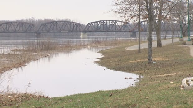
Multiple communities are in advisory or watch stages, while a handful are set to enter warning territory this week.
According to River Watch, advisory water level is two meters below flood stage, watch level is one metre below and warning level is half a metre below. A warning means "an event is certain or is imminent," according to the website.
Maugerville, Clair–Fort Kent and Saint Hilaire are all expected to hit the warning stage on Wednesday. On Saturday, Sheffield–Lakeville Corner is also expected to enter warning territory.
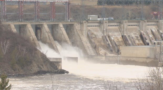
In a tweet on Monday, N.B. Power advised the public to be cautious around hydro dams because the mild temperatures and increased flow make for unsafe waters.
Downey said the same goes for riverbanks.
"It may not be flooding, but there's certainly a lot of ice coming down, the water's cold — it's moving very quickly. So it certainly poses a threat," he said.

