Fire crews report mixed success battling blazes across California amid record-breaking heat
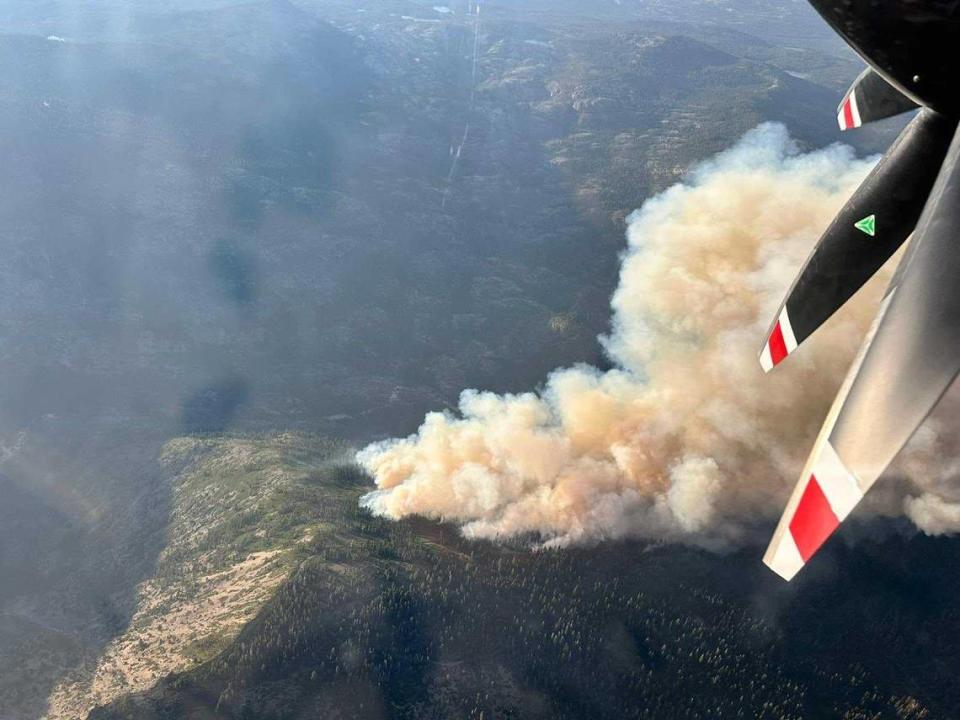
High heat and relatively low humidity across the state the past week has created severe fire weather conditions, helping fan new flames and sustain existing wildfires in California.
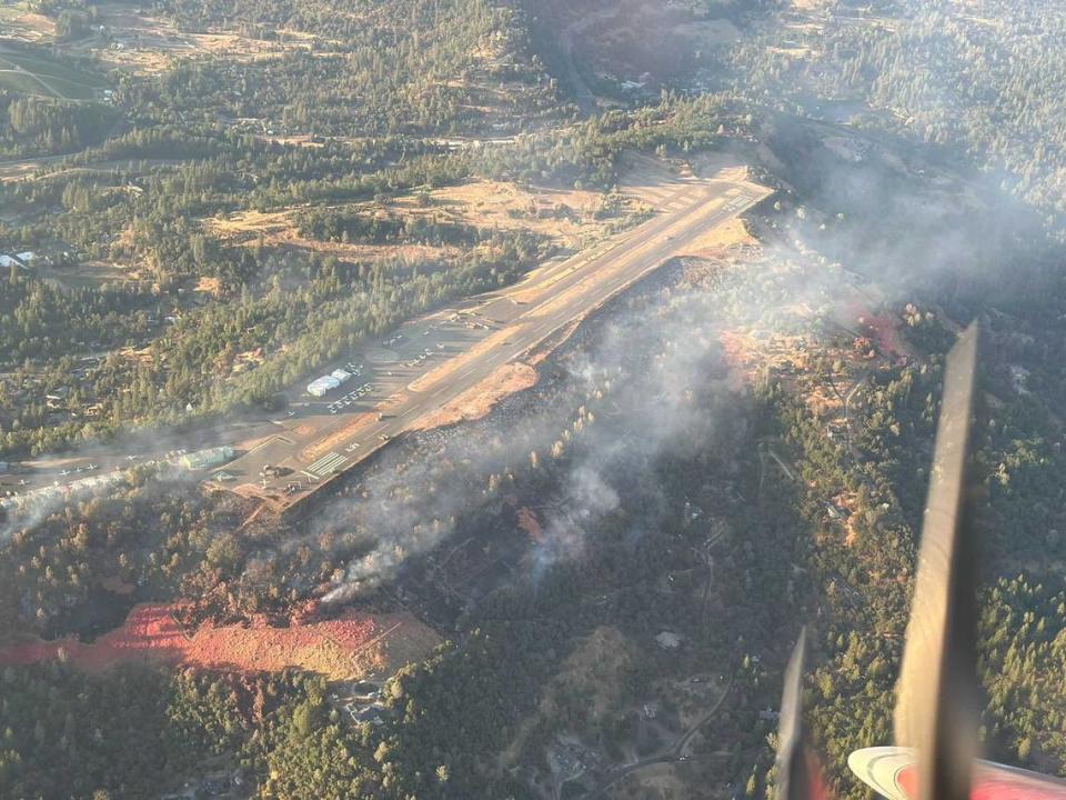
Multiple fires popped up in Northern California in the last week, some growing to thousands of acres and creating challenges for Cal Fire and U.S. Forest Service crews to contain, while other major fires have had very productive operations in recent days, with containment growing among many fires.
The Thompson Fire in Butte County finally achieved full containment Monday, Cal Fire reported.
Shelly Fire
Where: Siskiyou County, near Shelly Lake
Size: 6,261 acres
Status: 0% contained
After nearly a week, the Shelly Fire is still uncontained and threatening thousands of buildings and national land in Klamath National Forest.
The blaze was reported at more than 6,200 acres as of Tuesday, nearly doubling in size overnight after hot and dry conditions made the firefight a struggle. One firefighter has been injured, and more than 2,300 structures in the area are threatened by the flames, Cal Fire reported.
Smoke from the Shelly Fire is traveling north to Oregon, impacting air quality in Jackson County, which includes the cities of Medford and Ashland. The county issued an air quality alert Monday due to smoke from the Shelly Fire and the Salt Creek Fire, which is burning in Oregon.
The fire broke out last Wednesday near Shelly Lake and the Pacific Crest Trail, with its cause still under investigation. The fire grew thanks to hot conditions and tough terrain, and Cal Fire’s Siskiyou Unit is working with Klamath National Forest crews to attack the blaze.
According to a Cal Fire report released Tuesday morning, the blaze has not injured any civilians or damaged or destroyed any buildings.
Incident Management Team 12 is overseeing the fire response, and the team is working to fortify bulldozer lines and hand crews on the eastern and northern edges of the fire, operations section chief John Chester said in an update posted to Facebook Tuesday morning. According to Chester, rocky slopes will likely pose a challenge to crews along the eastern ridges.
Air crews are prioritizing the blaze’s northern offshoot on Tuesday, Chester said.
Evacuation orders and warnings were still in place throughout portions of western Siskiyou County on Tuesday, including parts of Klamath National Forest and Marble Mountains Wilderness.
An evacuation shelter is available at the Karuk Wellness Center on 1403 Katishraam in Yreka.
Animal evacuation shelters are available at Rescue Ranch Yreka on 2216 East Oberlin Road in Yreka and Siskiyou Golden Fair at 1712 Fairlane Road in Yreka, with Golden Fair’s armory building available specifically for cat evacuations.
Shelly Fire in Siskiyou County
Source: National Interagency Fire Center
Bogus Fire
Only about 40 miles away from Shelly, the Bogus Fire is burning 411 acres just off of Little Bogus Creek Road. It started Monday afternoon and has only been 10% contained as of Tuesday afternoon.
Crews stopped the fire’s forward progression early Tuesday morning, Cal Fire’s Siskiyou Unit posted in an update on social media.
An evacuation order is still in place for Zone SIS-3413, while surrounding zones are still under an evacuation warning, which includes Zones MTF-3410, SIS-3309, SIS-3312, SIS-3315, SIS-3318, SIS-3321 and SIS-3416.
There have been no injuries or building destruction or damage reported due to the blaze.
Lake Fire
Where: Santa Barbara County, near Zaca Lake
Size: 26,176 acres
Status: 12% contained
Growth on the Lake Fire has slowed by Tuesday morning after a large jump in acreage on Sunday and Monday, according to a Cal Fire report, though red flag weather conditions starting at noon may make fire fighting difficult through Tuesday night.
Nearly 2,500 firefighters from Cal Fire, U.S. Forest Service Los Padres and Santa Barbara County Fire Department have collaborated to tackle the large wildfire that has injured three firefighters, damaged one structure and threatened another 500 structures as of Tuesday.
A report released Tuesday morning said fire activity continued overnight, particularly on the eastern edges of the blaze, kicking up significant smoke and resulting in additional evacuation orders in rural areas.
The report said fire crews are prioritizing work on the south side of the blaze to avoid impacts on communities, including Santa Ynez and the Lake Cachuma area.
The wildfire has caused the closure of Happy Canyon Road at the forest boundary, Foxen Canyon Road at Zaca Station Road and Tepusquet Road and Figueroa Mountain Road at Midland School.
Evacuation orders are in place throughout areas of Junction Camp, Ranger Peak, Figueroa Mountain, Zaca Peak and Lookout Mountain. Warnings have been issued for the Goat Rock area and for areas north of Foxen Canyon Road and south of the Sisquoc River. A full list of areas under evacuation orders or warnings is available on Santa Barbara County’s Lake Fire incident page.
Lake Fire in Santa Barbara County
Source: National Interagency Fire Center
Royal Fire
Where: Placer County, off Soda Springs Road
Size: 201 acres
Status: 0% contained
The fire burning in Tahoe National Forest grew slightly overnight, with fire crews struggling to make progress on due to steep and inaccessible terrain, according to a Tahoe National Forest report Tuesday morning.
The Royal Fire, which broke out Sunday afternoon, is still uncontained, and poor weather conditions are impacting containment efforts, the report said. High temperatures and low humidity are expected over the next several days.
Tahoe National Forest is closed in areas south of Soda Springs Road to Mosquito Ridge Road, out to Long Valley and Palisades Creek Trails and north to Kidd Lakes Road due to the fire.
An evacuation warning was put in place for the community of The Cedars, and no evacuation orders have been issued as of Tuesday. No injuries or building damage has been reported.
Royal Fire in Placer County
Source: National Interagency Fire Center
Updates on other fires
Toll Fire
As of Monday morning, the Toll Fire in Napa County has remained steady at 41 acres burned, and is 80% contained by fire crews.
Cal Fire reported Monday that crews were working to mop up the steep and rugged terrain and repairing areas of fire suppression. The fire started July 2 and injured two firefighters. There were no civilian injuries or building damage or destruction reported.
Cal Fire has not released any additional updates to the Toll Fire’s status as of Tuesday afternoon.
Thompson Fire
The fire that threatened Oroville-area communities starting last week was fully contained by Cal Fire crews Monday evening.
Crews will be patrolling the burn area in the coming days to monitor for any new smoke and to repair areas where fire suppression occurred, authorities said.
The blaze injured two firefighters, destroyed 26 buildings, damaged eight buildings and threatened an additional 450, according to Cal Fire.
Basin Fire
The Basin Fire has burned for nearly two weeks as of Tuesday, and is still at more than 14,000 acres with 85% containment, Sierra National Forest officials reported Tuesday morning.
High heat and threats of thunderstorms through the weekend are challenging fire crews, with flare-ups in unburned areas producing new smoke and hot spots.
The fire began last Wednesday and is currently burning at elevations of 2,000 feet to 4,500, north of the King River.
Evacuation orders are still in place for Fresno County zones K30 and K40, with warnings in place for zones K29, K31, K41 and K166.
Sierra National Forest is closed in the area of the Basin Fire through July 31.
French Fire
The French Fire, which started in Mariposa County on the Fourth of July, is holding steady at 908 acres but is now 70% contained.
Cal Fire reported Tuesday morning that the response has been diminished, with remaining crews focused on mopping up the remaining heat within the control lines and patrolling for any flare-ups.
All evacuation warnings in residential areas have been lifted, but areas of Stockton Creek Reservoir and the road to Mariposa County High School’s baseball field and track remain closed.
Four firefighters were injured, 11 buildings were destroyed and an additional seven were damaged in the fire.
Pay Fire
The 77-acre Pay Fire is being quickly contained, increasing from 35% to 65% contained in the span of 24 hours, Cal Fire reported Tuesday morning.
As of Monday evening, all areas under evacuation warnings were considered “safe to re-enter,” as crews mop up remaining hot spot areas within the fire perimeter.
No injuries or damage was reported as a result of the Pay Fire.