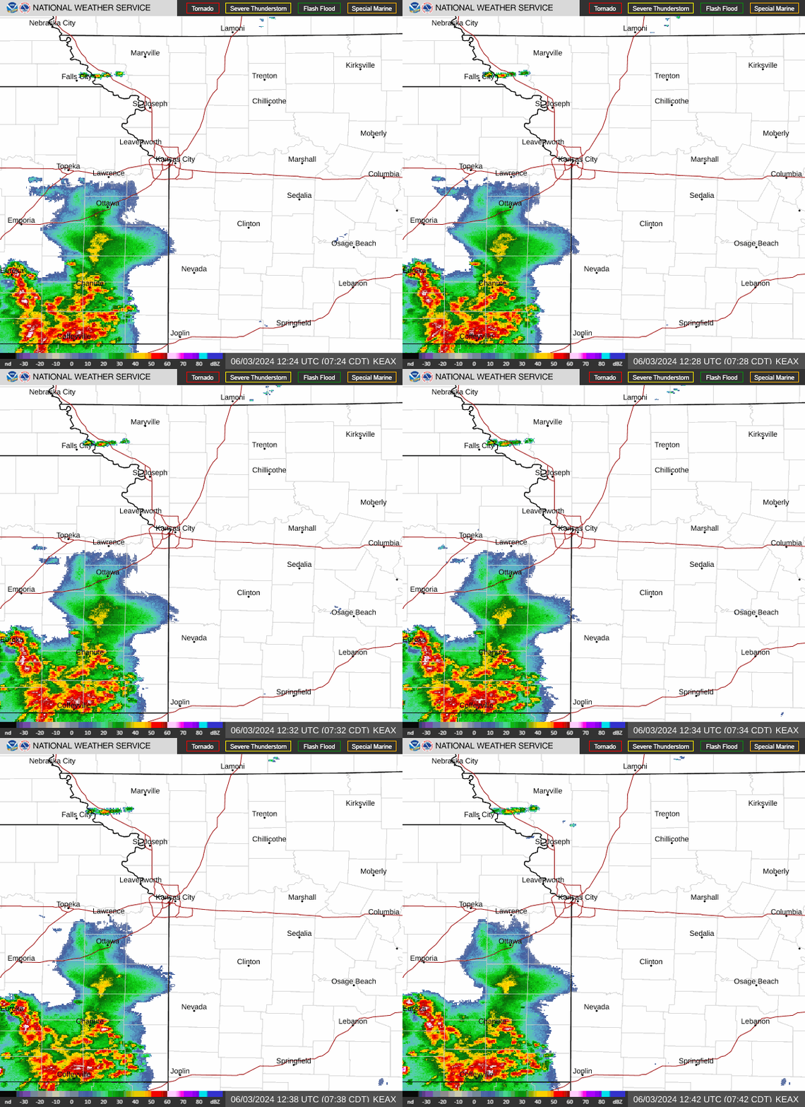
Flash flood watch issued for KC area as storms fire up over Kansas and Nebraska
The National Weather Service issued a flash flood watch Tuesday afternoon for the Kansas City area due to the likelihood of heavy rains from strong to severe storms.
The watch, which is in effect from 5 p.m. through Wednesday morning, said flash flooding will be possible in parts of northeast and northern Missouri, including the Kansas City metro area, caused by excessive rainfall.
“Excessive runoff may result in flooding of rivers, creeks, streams, and other low-lying and flood-prone locations,” the weather service said. “Creeks and streams may rise out of their banks. Low-water crossings may be flooded. Area creeks and streams are running high and could flood with more heavy rain.”

The ground is already saturated from rains that moved through the Kansas City area on Monday.
Unlike Monday, when nearly 7 inches of rain fell in six hours, leading to flash flooding across the southern half of the metro, the higher rainfall totals are expected to be in the counties north of Interstate 70 and east of Interstate 35.
Strong to severe thunderstorms are expected to erupt along a cold front after 4 p.m., with the strongest storms expected before 4 p.m. Storms have already begun firing up over Kansas and Nebraska.
Northern Missouri, northeast Kansas and parts of Kansas City’s Northland are at the highest risk of severe weather. The area, which includes St. Joseph, Leavenworth, Liberty and Gladstone, is under an enhanced risk of severe weather.
The rest of the metro area is under a slight risk for severe weather.
Damaging straight-line winds are the primary concern, although large hail and a tornado or two cannot be ruled out. Heavy rains are also expected, which could lead to or extend river flooding.
Weather watches and warnings
A live data feed from the National Weather Service containing official weather warnings, watches, and advisory statements. Tap warning areas for more details. Sources: NOAA, National Weather Service, NOAA GeoPlatform and Esri.

