
Goodbye, heat wave — hello, June gloom: Cooler temps in store for SLO County this week
San Luis Obispo hit 91 degrees on Tuesday, the first time this year that the city reached at least 90 degrees, while Santa Maria recorded an 81-degree reading, its first 80-plus-degree mark of the year. Paso Robles reached 104 on Wednesday, its first triple-digit temperature in 2024. To the southeast of the Central Coast, Death Valley reported 122 degrees, besting the daily high-temperature record of 121 set in 1996 on Thursday, while Phoenix hit 113, beating the previous daily record of 111 set in 2016.
Next week will be a different story.
For most of this week, cooler conditions are expected. A trough of low pressure over the Central Coast will produce moderate northwesterly winds and a deep marine layer “June gloom” with below-seasonal temperatures through Thursday. A significant shift in the weather pattern will occur Friday into next Sunday as northwesterly winds and fog free skies with warmer conditions developing.
A trough of low pressure along the California coastline for most of this week will produce moderate to fresh (13 to 24 mph) northwesterly winds during the afternoon, decreasing during the night and morning, which will allow a deep marine layer with pockets of fog and mist to develop during the overnight. The marine layer will clear from the inland valleys (Paso Robles) in the morning, the coastal valleys (San Luis Obispo) by the early afternoon, and many beach communities by the late afternoon. However, a few coastal locations will remain overcast throughout the day.
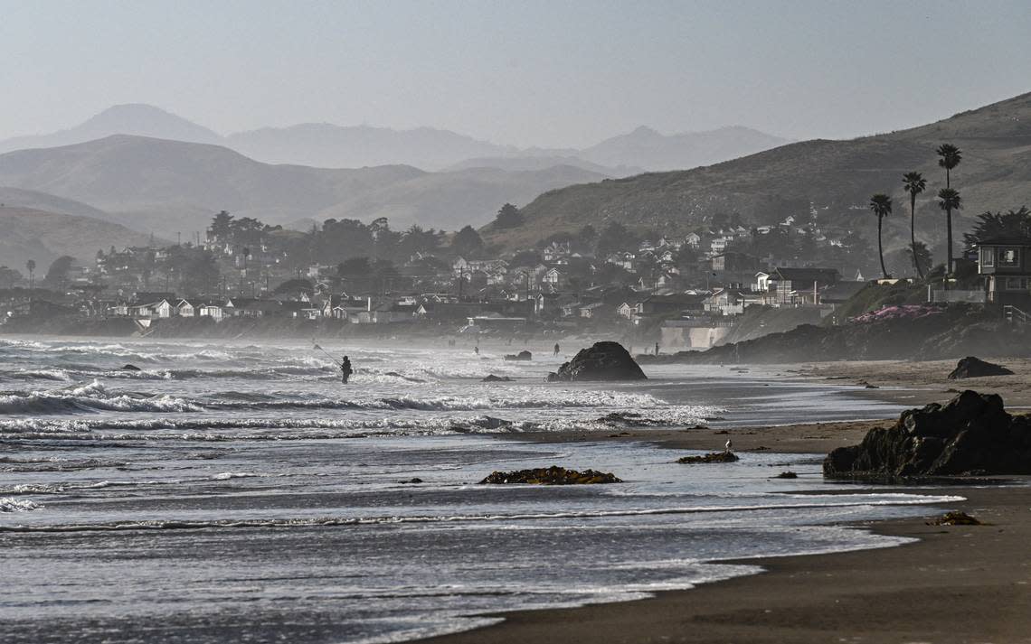
Temperatures over this period will reach the low to mid-80s in the inland valleys, while the coastal valleys will see cooler temperatures, ranging in the low to mid-70s. The beach communities will experience the coolest temperatures, with highs in the low 60s.
Moderate gale-force to fresh gale-force (32 to 46 mph with gusts to 55 mph) afternoon northwesterly winds along the coastline will mix out the temperature inversion layer, leaving behind clear skies throughout San Luis Obispo and Santa Barbara counties on Friday through next Sunday. Over this period, high temperatures will reach the high 80s in the inland valleys (Paso Robles), high 70s in the coastal valleys (San Luis Obispo), and 60s along the beaches, except for Cayucos, Avila Beach and Shell Beach which will reach the mid-70s.
Surf report
A 3- to 5-foot northwesterly (290-degree deep-water) swell (with an 8- to 14-second period) is forecast along the Central Coast on Saturday, becoming a 5- to 7-foot northwesterly (305-degree deep-water) sea and swell (with a 5- to 13-second period) on Sunday as strong northwesterly winds developed off the coastline. This sea and swell will lower to 4- to 6-feet (with a 7- to 12-second period) on Monday.
A 4- to 6-foot northwesterly (295-degree deep-water) swell (with an 8- to 11-second period) is forecast on Tuesday and will remain at this level through Thursday.
Gale-force northwesterly along the Northern and Central California coastline winds will generate a 9- to 11-foot northwesterly (310-degree deep-water) sea and swell (with a 5- to 8-second period) on Friday into next Sunday.
Combined with this northwesterly sea and swell, will be 1- to 2-foot southern hemisphere (205-degree deep-water) swell (with a 15- to 19-second period) on Saturday through Friday.
Seawater temperatures will range between 54 and 57 degrees through Thursday, decreasing to 49 to 52 degrees on Friday through next Sunday.
On this date in weather history (June 9):
1953 - A tornado hit the town of Worcester MA killing ninety persons. The northeastern states usually remain free of destructive tornadoes, however in this case a low-pressure system, responsible for producing severe thunderstorms in Michigan and Ohio the previous day, brought severe weather to New Hampshire and central Massachusetts. The tornado, up to a mile in width at times, tracked 46 miles through Worcester County. It mangled steel towers built to withstand winds of 375 mph. Debris from the tornado fell in the Boston area, and adjacent Atlantic Ocea. (David Ludlum) (The Weather Channel)
1987 - Lightning struck Tire Mountain near Denver, destroying two million tires out of a huge pile of six million tires. Thunderstorms spawned three tornadoes around Denver, and a man was killed at Conifer, Colorado, when strong thunderstorm winds lifted a porch and dropped it on him. A thunderstorm near Compton, Maryland, produced 2-inch hail, and high winds which destroyed 20 barns and 10 houses, injuring five persons.
2020 - San Luis Obispo hit 94 degrees, breaking the old record of 92 set back in 1973. Santa Maria also reported 94 degrees but did not break the record of 96 set in 1979. Paso Robles checked in with another 94-degree reading but was well short of the 106-record set in 1994. The Point Buchon weather station along the coastline reached 84 degrees.
This week’s temperatures
LOWS AND HIGHS, PASO ROBLES
SUN | MON | TUE | WED | THU | FRI | SAT | SUN |
50, 80 | 49, 82 | 53, 86 | 53, 82 | 51, 81 | 52, 85 | 53, 87 | 52, 88 |
LOWS AND HIGHS, SAN LUIS OBISPO AND COASTAL VALLEYS
SUN | MON | TUE | WED | THU | FRI | SAT | SUN |
52, 70 | 53, 72 | 55, 75 | 54, 73 | 54, 71 | 53, 76 | 54, 77 | 54, 78 |
John Lindsey is a retired PG&E marine meteorologist. Email him at JohnLindseyLosOsos@gmail.com or follow him on Twitter @PGE_John.

