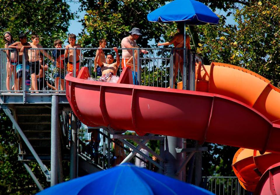
Heat wave to wallop Tri-Cities. Temperature could top 100+ for days
Summer’s first heat wave is just days away — and it could be a long one.
The temperature should finally hit the triple digits for the first time this year in the Tri-Cities, after a June that was cooler than normal, according to National Weather Service data.
Temperatures will start to heat up on Independence Day, with a high of 94 forecast.
Then on Friday the high should reach 102, followed by highs of 105 Saturday and Sunday and 104 on Monday, according to the weather service forecast.
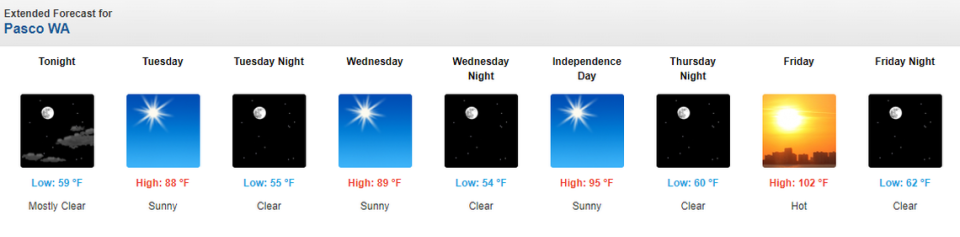
The Weather Channel which offers a longer, 10-day forecast, says temperatures in the 100s may last for seven days through Thursday, July 11.
And that could include 108-degree highs for Monday, July 8, and Tuesday, July 9.
July 8 has the potential to top the current hot weather record for the date, 107 degrees recorded in 2012.
Normal high temperatures for those dates in the Tri-Cities are about 90 degrees.