
Honouring Mennonites and Metis at the inaugural opening of the Peace Trail
On Saturday, June 1, a small contingent of historians and history enthusiasts gathered at the Mennonite Memorial Landing site, located at the confluence of the Red and Rat Rivers. They were there to celebrate the official grand opening of the Peace Trail.
The Peace Trail is a 45-kilometre stretch of road and highway which finds its beginning at the historic Mennonite landing and ends, fittingly, at the Dirk Willems Peace Gardens located at the Mennonite Heritage Village in Steinbach.
Developed to commemorate the trek of early Mennonite settlers, the trail follows what historians believe would have been the approximate route taken by many of these immigrant families upon their arrival in Manitoba exactly 150 years ago.
Ten waypoints along the trail’s route take hikers, cyclists, and motorists past Metis commemorative plaques, the Shantz Sheds cairn, the Tourond Creek Discovery Centre, the site of the old Randolph Chortitz church, the Rosenthal Nature Park, and the Keating cairn.
At each of these waypoints, users can find descriptive panels or, at minimum, a trail post with a QR code attached to access the Peace Trail website.
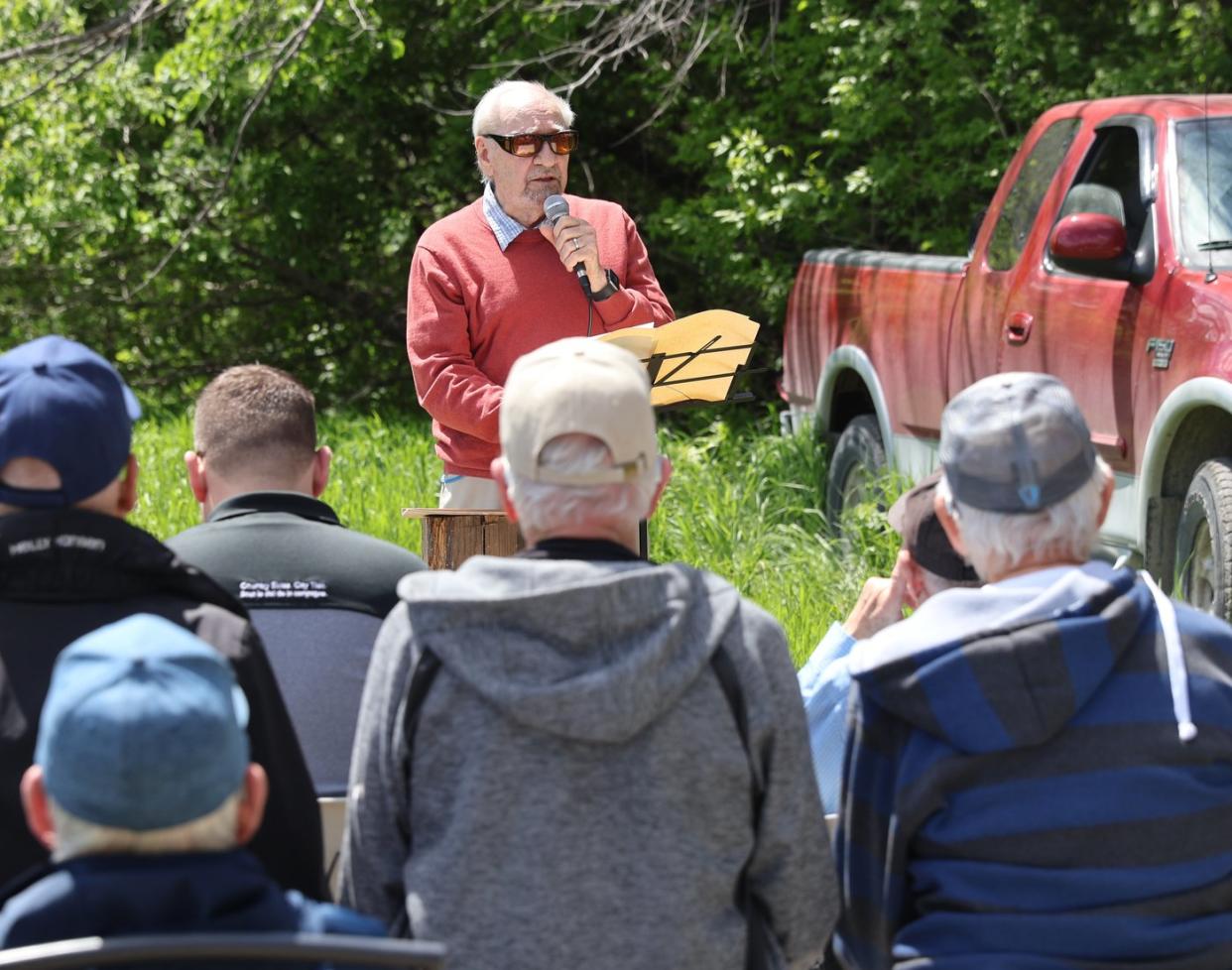
Hosting the Saturday afternoon event were Ernie Braun of Niverville and Glen Klassen of Steinbach. Both are members of the East Menn Historical Committee and co-authors of the Historical Atlas of the East Reserve.
The idea behind the Peace Trail began with Klassen.
Attendees at the event included some direct descendants of the Mennonites who arrived by steamboat in 1874. Also there to celebrate were Ritchot councillor Jason Bodnarchuk, Jerry Lagasse of the Friendship Trail, Garth Doerksen of the Mennonite Heritage Village, and a handful of others representing the Crow Wing Trail and east trails group.
Peace Trail’s first waypoint, the landing site, is where 60 Mennonite families disembarked from a steamship, the International, and walked or boarded Metis Red River carts before heading five miles east to the Shantz immigration sheds. Here, newcomers were housed until they could be relocated to their newly acquired land.
“We are within the vast expanse of prairie that was the domain of the Indigenous peoples,” Klassen told those gathered. “Here, they gathered wild fruit and rice and hunted deer and moose, trapped muskrats, and, according to James Red Sky, tapped maple trees for the sugary sap. Their natural rights to the land were unfortunately extinguished in 1871 with the establishment of the treaty system. The Mennonites were almost the first to benefit from this tremendous gift of land.”
Even before the Mennonites arrived, though, the land along the Red and Seine Rivers was inhabited by the Métis peoples. The Métis had been the recipients of 1.4 million acres of land thanks to the Manitoba Act of 1870.
As new immigrants poured onto Manitoban soil, the Métis stepped alongside them to make their transition a little bit easier.
“Local Métis helped the Mennonite immigrants in many ways,” Klassen said. “They transported people and goods, they guided the settlers in their search for village locations, and a few even helped in surveying village sites. Their familiarity with the region made it easier for the Mennonites who came from a much milder country and were probably naïve in choosing the east reserve.”
Hespeler Park in Niverville was chosen as the trail’s third waypoint due to William Hespeler’s significant involvement in facilitating the immigration of Mennonites to this region. A pergola will be erected at this site to commemorate the Métis influence.
Upon arrival, these early Mennonites settled and formed communities we still know, including Kleefeld, Grunthal, Blumenort, and Steinbach.
“Manitoba was open to Canadian and European farmer settlers,” said Klassen. “Each adult male could claim 160 acres for a $10 registration fee and could buy additional land at a very low price.”
The fifth waypoint, located at the Tourond Creek Discovery Centre on Highway 52, celebrates the flora and fauna of the Manitoba prairie, according to Klassen. Here, he says, the land is almost as it was when the Mennonites first arrived.
“By settling on the prairie soil, we were takers. How ironic it is then that we should take, albeit legally, so much land for ourselves. Maybe walking, cycling, or driving the Peace Trail is one way of saying thank you to the previous owners, the Indigenous peoples and the Metis.”
Brenda Sawatzky, Local Journalism Initiative Reporter, The Niverville Citizen

