
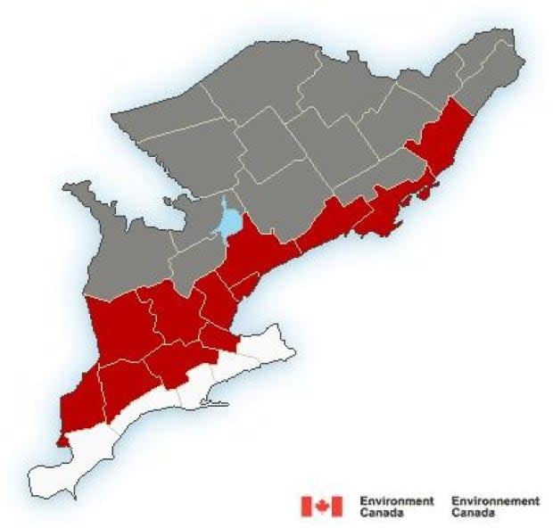
Freezing rain warnings from Trenton to Prescott, advisories elsewhere
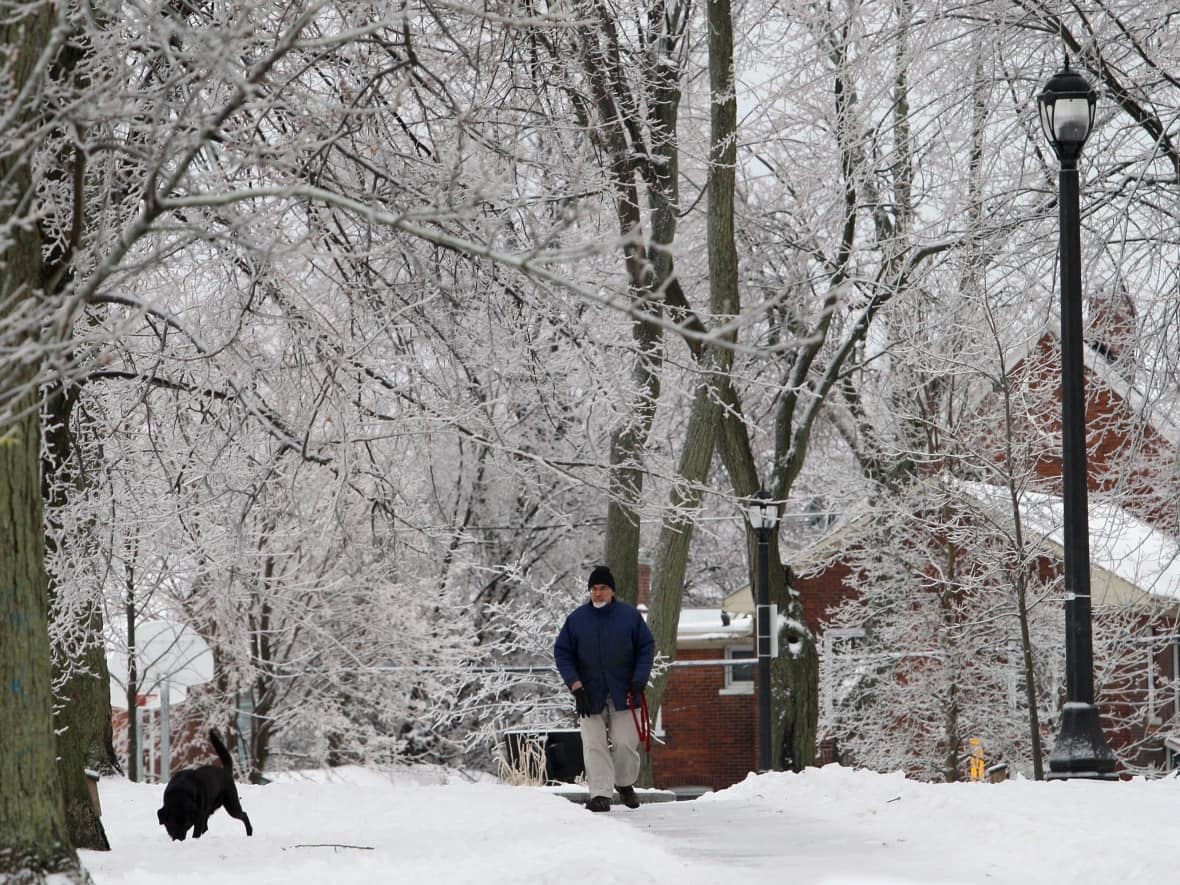
Ice is expected to speckle eastern Ontario Thursday night, with freezing rain warnings around Kingston and a mix of snow and ice elsewhere.
The warnings hug Lake Ontario and the St. Lawrence River from Prescott through Trenton and all the way to Hamilton.
Local forecasts say a few millimetres of ice should stick from freezing rain that should start falling late in the evening and peter out by morning.
The rest of eastern Ontario, plus Gatineau, is generally looking at five to 10 centimetres of snow sometimes mixed with ice pellets and freezing rain.
Winter weather travel advisories for those areas forecast the same general timeline from late Thursday evening through Friday morning.
Deep River is only expected to get snow, and Tweed should get slightly less accumulation.
Rural western Quebec doesn't have any alerts, with Maniwaki's forecast calling for about 10 centimetres of snow between this evening and Friday at noon.
Ottawa hasn't had more than four centimetres of snow in a day this month, which is so far its fifth straight warmer-than-average month.
Wednesday's peak of 9.6 C set a daily record for Feb. 15 and the Rideau Canal Skateway won't open this week, according to the National Capital Commission.
Friday swings to a below-average forecasted high of –7 C and low of –16 C in Ottawa before three more days of a daytime high at or above freezing.

