
The latest on the winter storm heading for Toronto and the GTA ahead of major holiday travel days
Brace yourself for a "major" winter storm to hit Toronto and surrounding areas in the days leading into the holiday weekend, Environment Canada warns.
The forecast — which includes a winter storm warning — features the potential for the following:
Rain.
A potential flash freeze.
Strong winds with gusts up to 90 km/h.
Blizzard conditions.
The federal weather agency is urging people to reconsider their holiday travel plans, with Friday and Saturday predicted to be the worst days of the storm.
Even if you stay in place, be ready for the possibility of "extensive" utility outages, it says.
Up to 15 cm expected in Toronto by Saturday
The City of Toronto says it's predicting a mainly cloudy Thursday morning, followed by drizzle in the afternoon and showers in the evening.
Across the province, temperatures are predicted to plummet overnight into Friday, with flash freezes possible, Environment Canada says.
On Friday, the city is expecting two to five centimetres of snow, possibly mixed with rain. Snow showers are expected in the afternoon, along with strong and "potentially damaging" winds.
Highways, roads, walkways, and parking lots are expected to be icy and hazardous, Environment Canada warns. Conditions will be worse on overpasses and bridges, and black ice is also a risk. Drivers will want to consider alternate routes in the case of road closures.
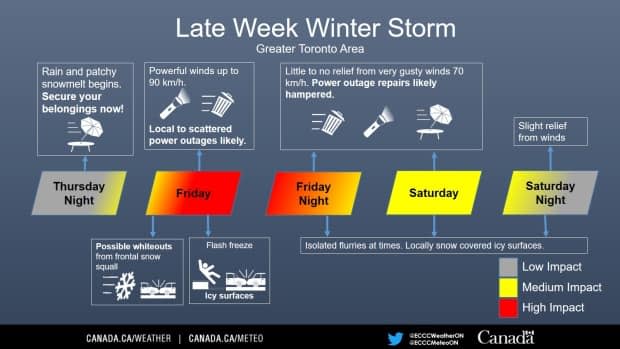
By Saturday morning, Toronto and the GTA could see snowfall accumulations of five to 15 centimetres, the weather agency warns, but there's still some uncertainty about how much could fall, Environment Canada says. Areas north of the city could see snow accumulate more quickly and for longer, with snowfall expected to continue into Monday.
Blizzard conditions are possible by the evening and into the weekend, Environment Canada says.
How tough will travel be?
Steven Flisfeder, a meteorologist with Environment Canada, told CBC Toronto the conditions will make for difficult driving. If you plan to travel for holiday get-togethers, aim to arrive before the worst of the storm.
If you can, try to postpone any gatherings until Sunday, he says.
Until then, "take this time ahead of the storm to prepare for the conditions that will be coming," Flisfeder said. "It's always best to be prepared so that you don't have to scramble when the storm actually approaches."

Toronto Pearson Airport, Canada's largest, advised travellers Wednesday that flights could be affected by the weather.
"It's very likely that if you have flights, they're going to be at the very least delayed," said Flisfeder.
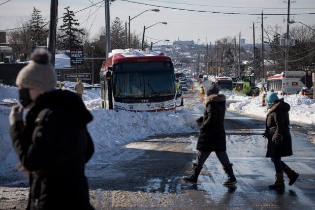
Meanwhile, the City of Toronto says it will send snow-clearing staff and equipment to high-priority locations during the storm, with salting to begin as soon as snow starts to stick.
For residents, plowing will begin when the snow reaches:
Two centimetres on sidewalks and separated cycle tracks.
2.5 cm on expressways.
Five centimetres on major roads, transit routes and streets with hills.
Eight centimetres on residential streets.
If you must drive, slow down, follow at a safe distance, watch out for pedestrians and people cycling and stay alert at all times, the city says.
Is this storm a sure thing?
Environment Canada is confident this storm will be "much more intense" — regardless of how much snow and rain stay on the ground — than the last storm system that rolled through was, said Flisfeder.
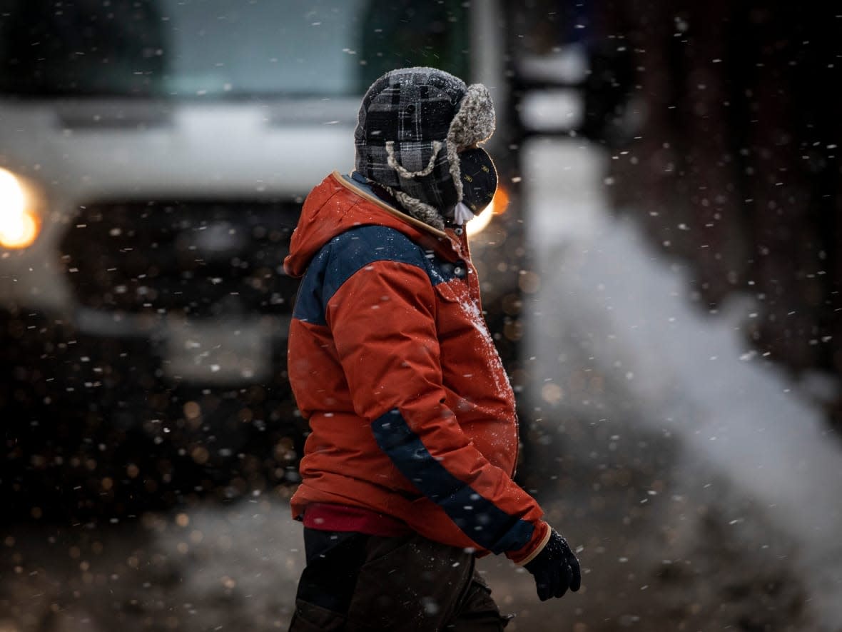
Oh, and bundle up.
Temperatures on Friday night and into the weekend could be the coldest Toronto has seen so far this winter, he said.
The City of Toronto says it's prepared to send out staff in case branches or trees fall due to strong winds, saying it'll prioritize "hazards to public safety or property"and roads that need to be cleared.
It also said Thursday it's set to open three warming centres throughout the city Friday evening.
What's causing this storm?
Flisfeder says this week's storm is caused by moisture coming up from the southern United States that's interacting with a strong cold air mass coming from the Arctic.
"And when those meet up, we get a rapid intensification of the low pressure system. And all that combined is what makes this such an intense storm."
Ontario is not the only one expected to take a hit. British Columbia and Calgary are already dealing with extreme cold warnings and buckets of snow that have affected hundreds of flights.
How should you prepare?
Residents are urged to make an emergency plan and prepare a kit with drinking water, food, medicine, first aid supplies and a flashlight, the agency says.
Environment Canada says residents should continue to check local forecasts throughout the course of the multi-day storm.
Flisfeder says by Sunday, most areas should start to see an ease in the intensity of snowfall, save for northern parts of the GTA and areas near Lake Huron and Georgian Bay. Those areas will still likely be experiencing heavy falling snow and gusting winds, keeping travel conditions difficult.

