
Messy weather expected for St. John's area while rest of province digs in for winter
Newfoundland's northeast Avalon Peninsula is expected to get its first real taste of winter later in the afternoon on Tuesday, while the island's west coast, central Newfoundland and southern Labrador settle in for what could be a long winter after already seeing their first dustings.
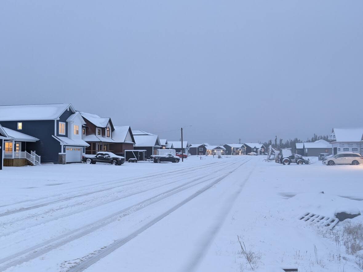
Most of the province has already had its first dustings of snow. On Wednesday the Gander area saw nine centimetres fall. Along Newfoundland's west coast, through the Northern Peninsula and into southern Labrador, dozens of centimetres of snow has already fallen, blanketing towns and landscapes with what could be a permanent esthetic until spring.
Travellers on the northeast Avalon have had things a little easier so far, though wind gusts peaked at 109 km/h Monday in St. John's with heavy wind expected again Tuesday with the winter mix of snow and rain.
That mix will make driving conditions challenging early in the afternoon before it changes to heavy snow around 2:30 p.m NT, according to Environment Canada.
Snowfall amounts are expected to be between five and 10 centimetres, with about 10 millimetres of rain expected along parts of the coast. Winds are expected to gust to 40 km/h.
The evening calls for blowing snow with winds reaching 50 km/h and gusting to 80 km/h. Wind is expected to gust to 110 km/h along Newfoundand's southern shore.
Wind warnings are in effect for the St. John's region along with special weather statements issued for Bonavista, Clarenville and Terra Nova.

