N.L. hit with mixed bag of winter-like weather from post-tropical storm Nicole


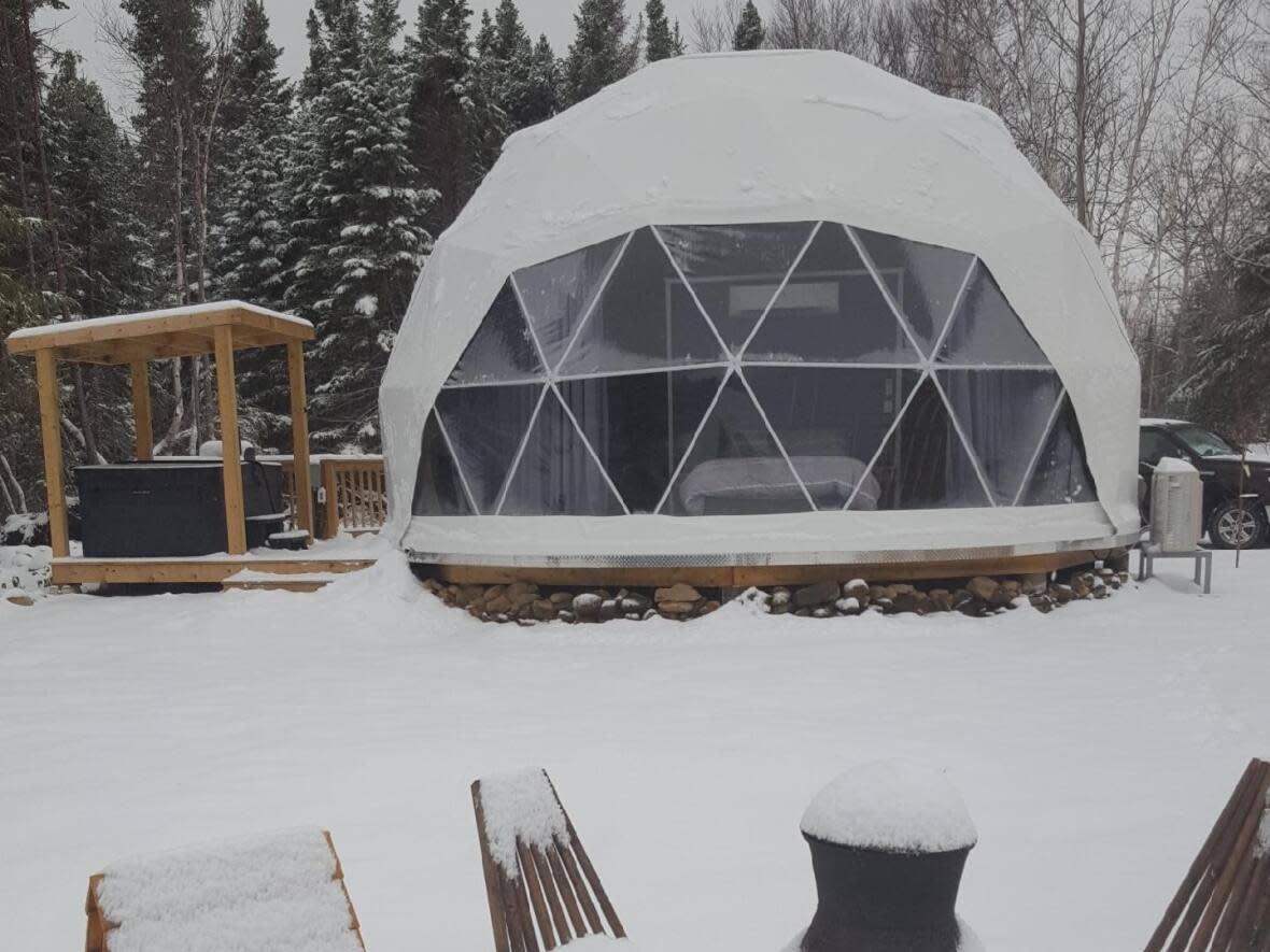
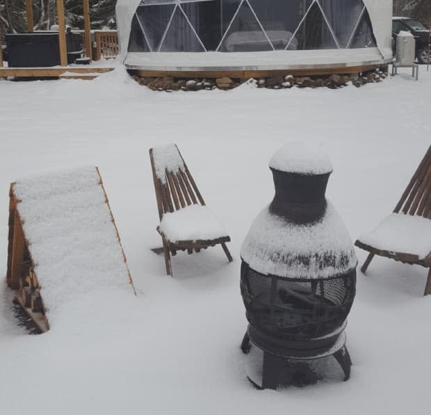
The remnants of post-tropical storm Nicole brought Newfoundland its first winter-like storm of the season Saturday, with many areas across the island hit with snow, rain, wind and ice pellets.
Nicole, which hit Florida as a Category 1 hurricane on Thursday, is anticipated to track near or over much of Newfoundland throughout Saturday evening and into Sunday morning.
The southwest coast of Newfoundland saw the highest levels of rainfall as of Saturday afternoon, with Burgeo seeing about 56 millimetres of rain and the Port aux Basques area experiencing around 51 millimetres, said Environment Canada meteorologist Melissa Field.
Port aux Basques, the town on the island's southwest coast that saw significant damage from post-tropical storm Fiona, experienced minor flooding at Big Bridge Hill on Saturday due to the rainfall.
Badger and La Scie both saw approximately 10 cm of snow by Saturday afternoon, said Field.
Grand Falls-Windsor and the surrounding area also saw heavy snowfall earlier in the day, causing reduced visibility, but the weather will transition mostly over to rain for Saturday evening, said Field.
"It was pretty messy there earlier today," she said.
Deer Lake also saw snow in the morning before transitioning to freezing rain and ice pellets around lunchtime. The snowfall total for the town was about six centimetres. Gander saw about seven centimetres of snow as of Saturday afternoon, which is expected to transition into rain by the evening.
The Northern Peninsula saw some snow earlier in the afternoon, but there wasn't "any significant accumulation, probably about two centimetres locally," said Field.
Field says the majority of the precipitation will taper off overnight Saturday and into the early part of Sunday morning. Most of central Newfoundland can expect another five to 10 cm of snow, with 10 to 15 cm for the Green Bay and White Bay areas.
Port aux Basques, along the south coast and the Burin Peninsula are expected to see somewhere between 30 to 50 mm of rain in total, while the southern Avalon region is expected to see as much as 50 to 70 mm, with St. John's seeing 30 to 40 mm.


