
Whiteouts expected as heavy weekend snow aims for Newfoundland
We’ve barely had time to clean up from this week’s formidable snowstorm across southeastern Newfoundland and we’re already looking ahead to the next thump of heavy snow arriving this weekend.
This quick-hitting system will bring heavy snowfall late Saturday into the first half of Sunday. Blustery winds that arrive with the storm will linger in its wake through the remainder of the weekend. Plan ahead for likely travel delays and difficult road conditions as a result of the heavy snow and gusty winds.

RELATED: PHOTOS: Snow piling up quickly as intense nor'easter batters Atlantic Canada
This upcoming storm will bring a healthy blanket of snow to many of the same communities buried in the big nor’easter back on Wednesday and Thursday. Gander saw 84.9 cm of snow from the system, making for its largest two-day snowfall on record. St. John’s saw its largest snowstorm of the season with 44 cm measured at the airport.
Saturday into Sunday:
Another low-pressure system moving off the U.S. East Coast will track toward Newfoundland this weekend.
We’ll see the system approach by Saturday night and linger into Sunday, bringing heavy snow to portions of eastern Newfoundland. Gusty winds will also allow sea-effect snow to fall across western Newfoundland throughout the weekend.
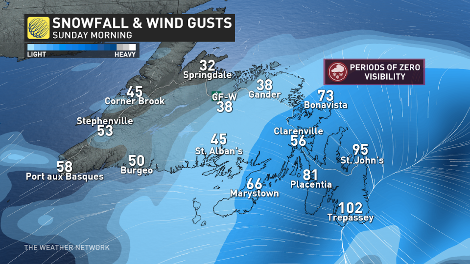
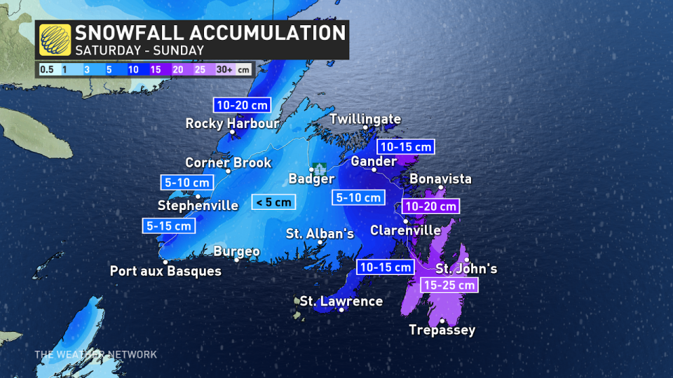
The heaviest snow will affect the Avalon, Burin, and Bonavista peninsulas through the overnight hours into early Sunday. Forecasters expect another 10-25 cm of additional snow across the region. Luckily for Gander, the snow will be rather light with 5-10 cm in the forecast.
This isn’t going to be a protracted storm by any means, arriving and departing within the span of about 10 to 12 hours. What it lacks in duration, though, the storm will make up for with intense snowfall rates and blustery winds.
BEWARE: Towering snow piles could lead to very expensive problems you didn't see coming
Wind gusts of 80-100 km/h on the Avalon Peninsula will create zero visibility during the heavy snowfall, making travel difficult or nearly impossible overnight Saturday into Sunday.
Gusty winds will continue across eastern Newfoundland even after the snow stops, with blustery conditions persisting through the remainder of Sunday.
Looking ahead, forecasters expect below-seasonal conditions to linger across the region heading into early next week. An active pattern is expected to return to the region for the latter half of next week, which could bring the risk for another significant storm or two.
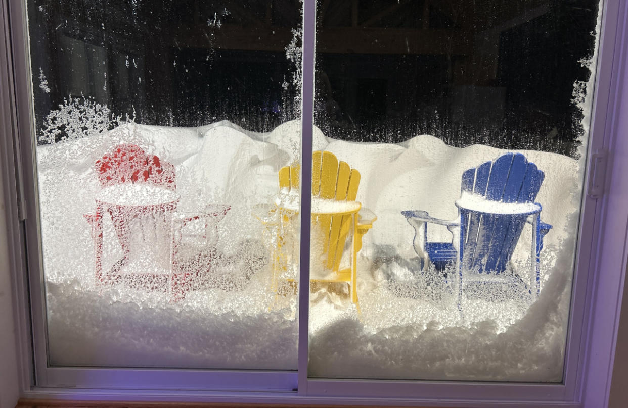
Header image courtesy of Cassandra Rowswell in Brighton, Newfoundland.
Stay with The Weather Network for all the latest on conditions across Newfoundland.

