
Rainfall continues in Windsor-Essex — but Sarnia, London expected to be harder hit
It appears the Windsor-area could be spared from heavy rainfall amounts on Wednesday, as remnants of Hurricane Beryl move across southwestern Ontario.
As of 8 a.m. ET, the low system is expected pass to the south of Windsor-Essex later in the morning and into the afternoon.
"It's going to drift along Lake Erie for the rest of today," said Environment Canada Meteorologist Geoff Coulson.
"More rain wrapping around it. But we will start to see that rain tapering off into more scattered shower activity this evening."
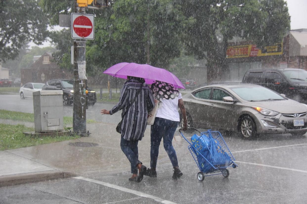
IN PHOTOS: The remnants of Beryl in Windsor, Ont.
Coulson says Windsor has seen roughly 30 millimetres of rain so far since showers began overnight — but more is on the way.
"We've seen a bit of a break in the rain in extreme southwestern Ontario in and around the Windsor area over the last couple of hours, but there is more rain to come back over lower Michigan and back over northern Indiana, and that will move through during the rest of today."
On Tuesday, Environment Canada said it expected possible rainfall records for July 10 in parts of the region.
Just northeast of Windsor is where Coulson expects to see the largest rainfall amounts for the region.
"Parts of Sarnia, Lambton County and towards London and Middlesex County. Even areas further to the east could be looking at significant rainfall amounts as well.
Essex County's emergency measures co-ordinator said he's hearing of reports of some minor flooding and standing water in a few parts of Lakeshore, but all in all the county has escaped any major damage or accumulation, he added.
"Beryl's remnants tracked North mainly above our area, and I guess Sarnia area and Michigan got hit with more rain as it circled round and now Niagara and Toronto will see more than our area likely before it's over," said Dan Metcalfe.
"I think we have seen the brunt of it so far, and it will began clearing moving into Thursday, but you know Mother nature se is fickle at moments."
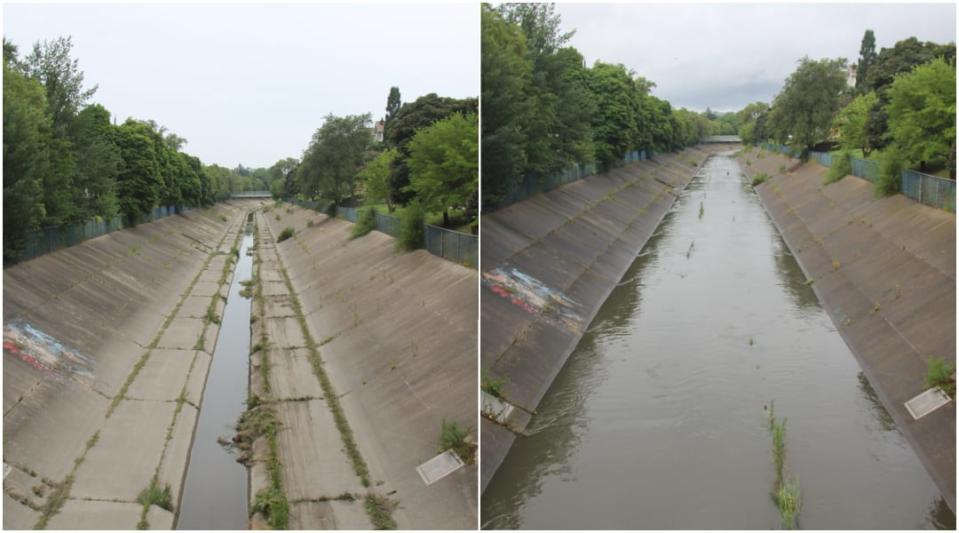
Windsor's Grand Marais Drain is shown over a roughly 20-hour time period from July 9-10, 2024. (Michael Evans/CBC)
Tian Martin with the Essex Region Conservation Authority said their rainfall gauges show 30 to 40 millimetres across the city and county — with the highest amounts in LaSalle and Tecumseh.
She said they've yet to hear of any flooding in the region and credits the low soil saturation due to the recent heat.
An Environment Canada rainfall warning remains in effect for the region with expected accumulations as high as 60 millimetres in spots.
The conservation authority for parts of Sarnia-Lambton and Chatham-Kent says as of 10 a.m. ET its seen rainfall amounts between 30 to 40 millimetres, with the higher numbers taking place along the Lake Huron shoreline.
Nicholas Hagerty is a water resources technician for the St. Clair Region Conservation Authority (SCRCA).
He said 12 stream gauges are used to collect data in communities like Sarnia, Wallaceburg, Dresden, Petrolia, Alvinston and Florence.
"The stream data provide us with real time data of currents and conditions. And the majority have tipping buckets so we can collect rain data as well," he said.
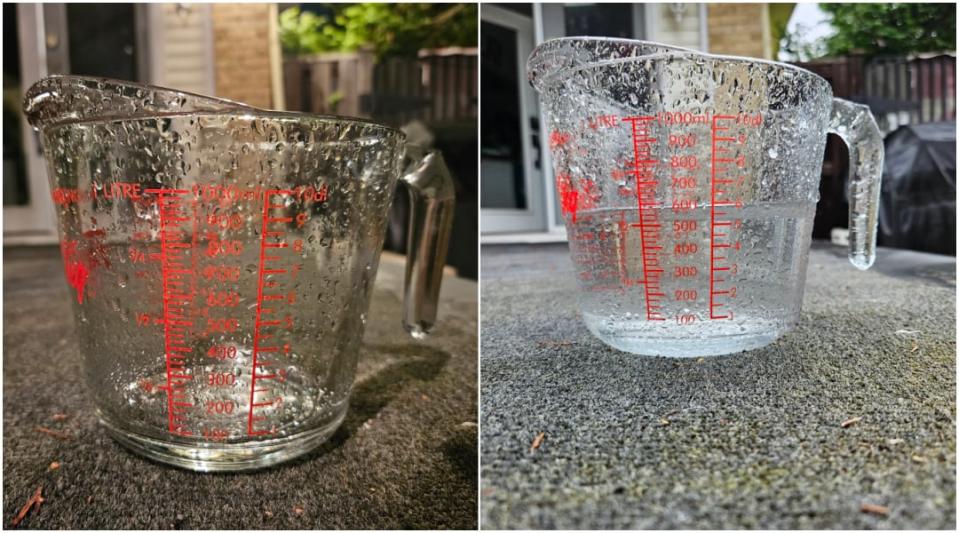
A measuring cup collecting rain is shown 11 hours apart during rainfall on July 9 and 10, 2024. (Michael Evans/CBC)
According to Hagerty, not enough rain has fallen in a short period of time to meet the criteria for issuing a flood watch advisory.
"Not at this current time. The forecast for the next 24 hours are calling for five to 10 millimetres so that can change. I'm constantly checking current conditions. What what are the stream gauges telling me? How is the watershed reacting?"

