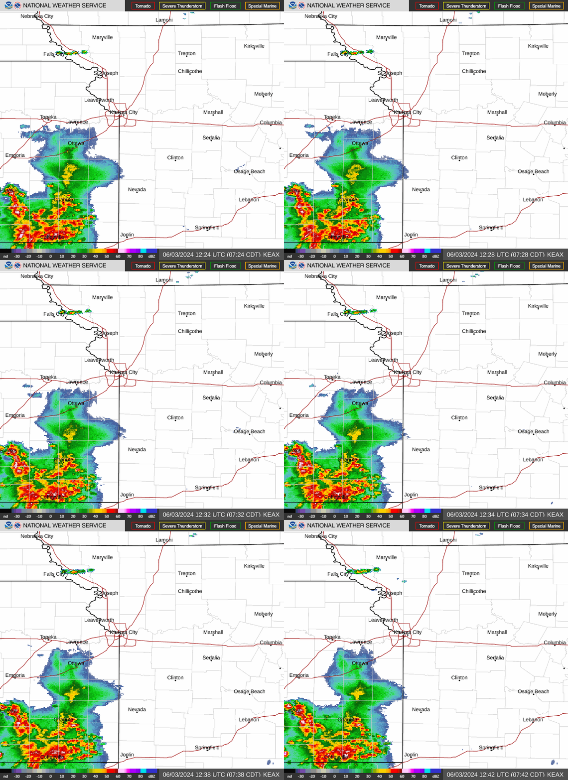
Severe weather threatening KC is uncommon type of storm: What to know about supercells
The National Weather Service’s Storm Prediction Center put the Kansas City area under an enhanced risk of severe weather Friday, where it will continue throughout the weekend.
Parts of eastern Nebraska, west and central Iowa, eastern Kansas and northwest Missouri are at a significant severe risk of a strong tornado, the weather service said.
“A few tornadic supercells are expected, with the greatest potential from near Omaha eastward to near Des Moines and southward to south of the Kansas City Metro,” the storm prediction center said. “Along this corridor, the more dominant supercell storms will also have a potential to produce hailstones greater than 2 inches in diameter and wind damage. “
What is a supercell and what should you look out for? Here’s what you need to know as you prepare for the weekend.

What is a supercell?
A supercell is a large thunderstorm that has a deep and persistent rotating updraft. It looks like a very tall storm cloud that has an anvil or elongated cloud at the top, according to the weather service, and it can last for hours.
It is the least common type of thunderstorm, but it has a high tendency to produce severe weather, such as:
Damaging winds
Very large hail
Weak to violent tornadoes
“If the environment is favorable, supercell thunderstorms can last for several hours,” the weather service said in a blog post.
Only 30% or less of supercells or less produce tornadoes, but they all produce some sort of severe weather, according to the weather service.
While supercells are the least common type of thunderstorm, they are most common in the central part of the United States.
Weather watches and warnings
A live data feed from the National Weather Service containing official weather warnings, watches, and advisory statements. Tap warning areas for more details. Sources: NOAA, National Weather Service, NOAA GeoPlatform and Esri.

