
Bryan Norcross: Tropics stay calm as a weak disturbance off North Florida drifts toward the coast

UPDATED Thursday at 9:30 a.m. ET
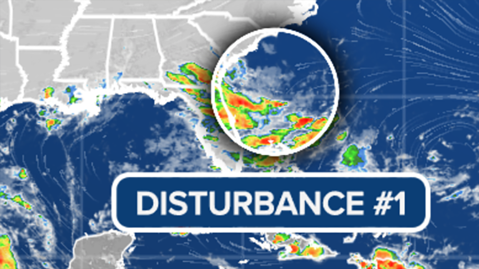
The Tropical Disturbance offshore of Jacksonville is a weak area of low pressure under hostile upper winds and surrounded by dry air. The system is forecast to track toward the Georgia and South Carolina coastline, where it will meet up with a front loosely associated with what’s left of Tropical Storm Beryl, which is over the Great Lakes.
The National Hurricane Center gives the disturbance a very slight chance of developing into a tropical depression before it merges with the front in a day or so.
Over the Atlantic, the giant heat dome high-pressure system that brought record-high temperatures to the Carolinas has drifted offshore. This results in unusually high pressure over the ocean, which keeps tropical disturbances (low-pressure systems) in check. In addition, dry air and Saharan dust cover the main development areas in the tropics.
No tropical development is expected for the next week, at least.
Original article source: Bryan Norcross: Tropics stay calm as a weak disturbance off North Florida drifts toward the coast

