
Power restored in many areas of Newfoundland as much of province faces rain, freezing rain
Almost all of Newfoundland and parts of southern Labrador remain red with warnings on Environment Canada's weather map as a bout of rain, freezing rain and snow is expected to continue Sunday.
While winter storm warnings issued Saturday have ended in western Newfoundland, new freezing rain warnings have been issued in Rocky Harbour, La Scie, Port au Choix, St. Anthony, Englee and Gros Morne. Much of the island also remains under a freezing rain warning, while areas of the Avalon face a rainfall warning.
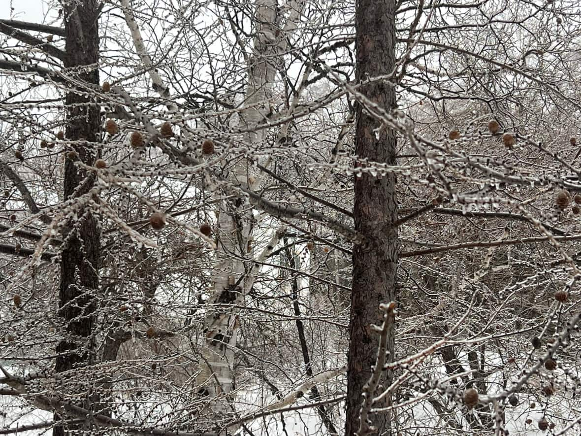
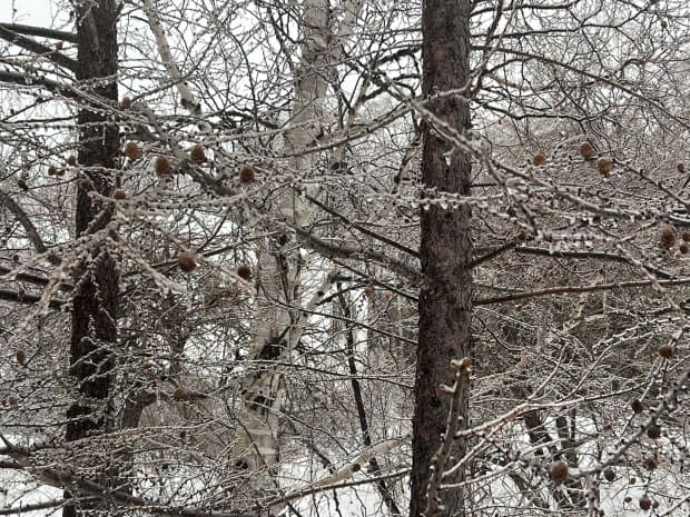
Environment Canada meteorologist Justin Boudreau said Sunday the weather was supposed to change from freezing rain to rain Saturday night. But that didn't happen, he added, which means conditions will likely be icy across much of the island.
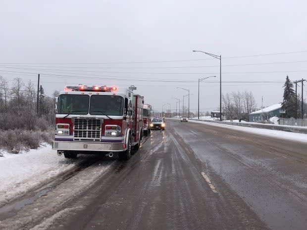
The ice and severe weather conditions led to power outages in parts of Newfoundland, affecting over 3,000 people at the height of outages around 1 p.m. Sunday.
Outages have been reported in Gander, areas of central Newfoundland from Grand Falls-Windsor to Lewisporte, Gallants, George's Lake, parts of Corner Brook and more. The Newfoundland Power website says most customers can expect power to be restored by 6 p.m., but the restoration time for some outages remain unknown.
Grand Falls-Windsor Fire Chief Vince MacKenzie says his crews responded to several calls involving downed power lines and poles earlier in the day Sunday.
"We're seeing a fair amount of trees down across power lines, and it's continuing, the freezing rain is still ongoing," MacKenzie said Sunday afternoon.
"If it continues tonight, I expect to see more incidents of that, so we're certainly cautioning the public to be very vigilant around their properties."
He said safety during the icy weather is paramount and encouraged people to stay away from any downed power lines and be extra careful while driving and walking outdoors.
Freezing rain is expected to continue for prolonged periods over the course of Sunday, Boudreau said, along with periods of intense rain. The south coast could receive another 40 to 60 millimetres of rain by Monday on top of what has already fallen, while other regions could see 60 to 90 millimetres of rainfall by Monday morning.
The freezing rain is impacting driving conditions across the island with reports of patches of both ice and slush along with drifting snow in some areas.
"It's mostly light freezing rain for the most part, but could last three, four to six hours. So that could make travel conditions not so much fun, especially after all the stuff that's already fallen," Boudreau told CBC Radio on Sunday.
Meteorologist Rodney Barney posted on Twitter on Sunday that St. Alban's is leading the way for rainfall as of Saturday with 76 millimetres.
Winds will also play a factor and could gust as high as 120 km/h in the Wreckhouse area, Boudreau said.
Temperatures vary greatly across the island as a result of the system moving east. Parts of central and western Newfoundland are at or below freezing, while St. John's was the warmest place in Canada on Sunday morning at 13.9 degrees at 11:30 a.m. NT.
By 1 p.m., the temperature had dropped to two degrees at St. John's International Airport.

